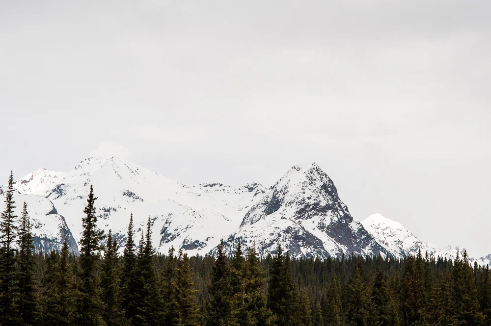
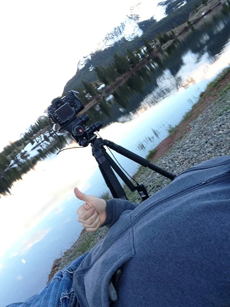
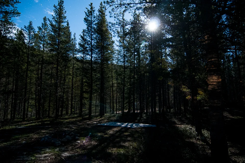
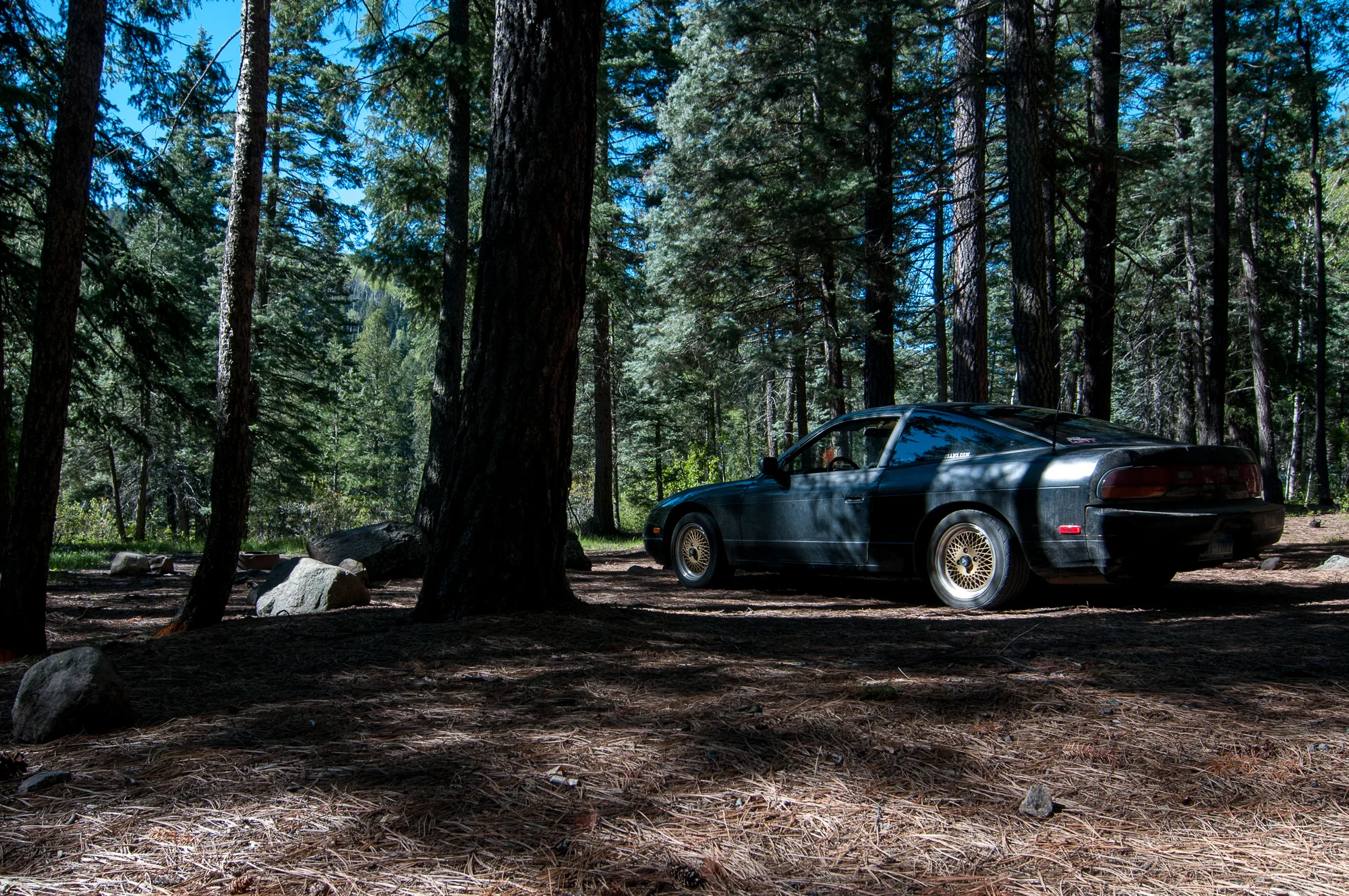
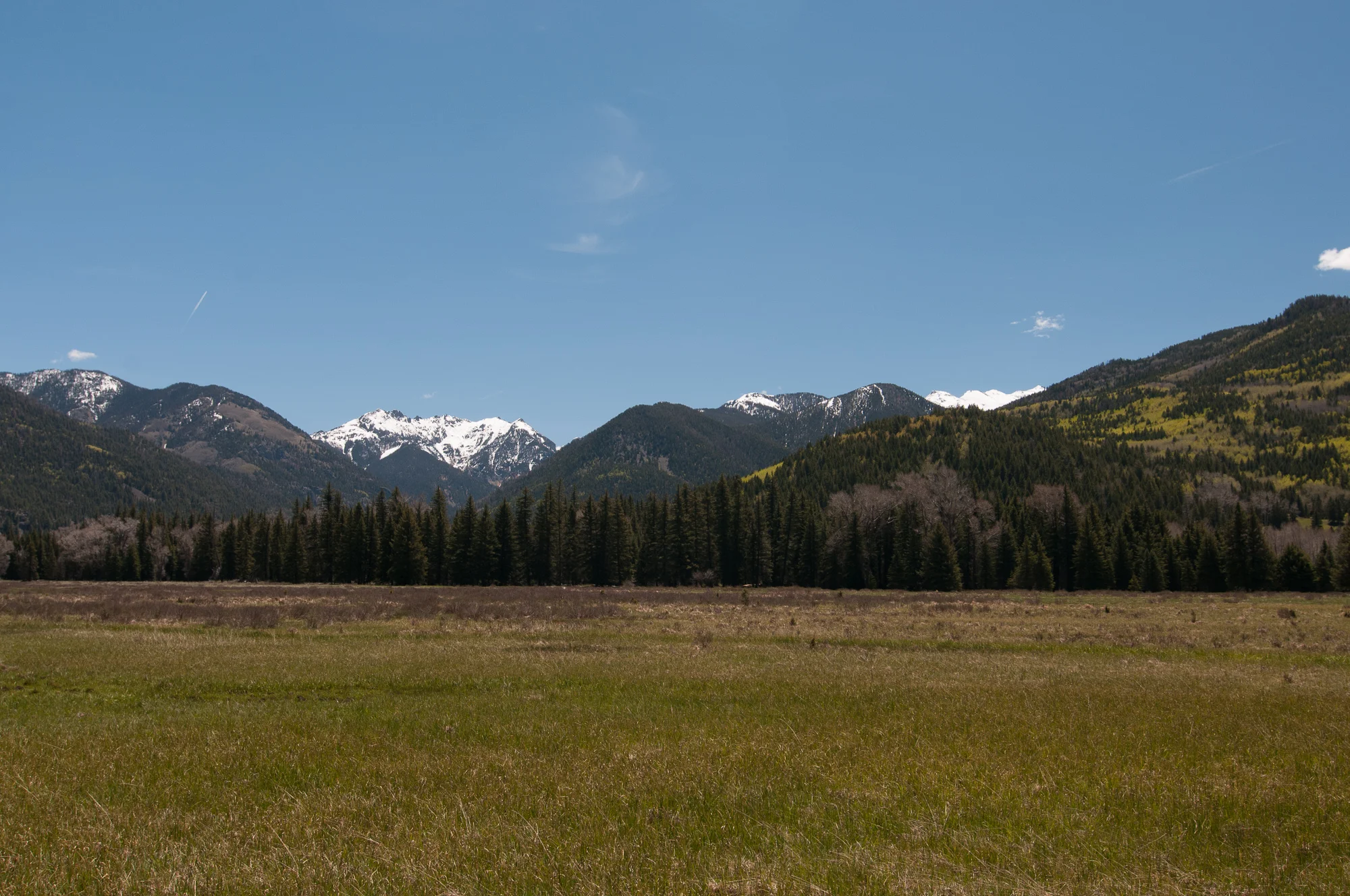
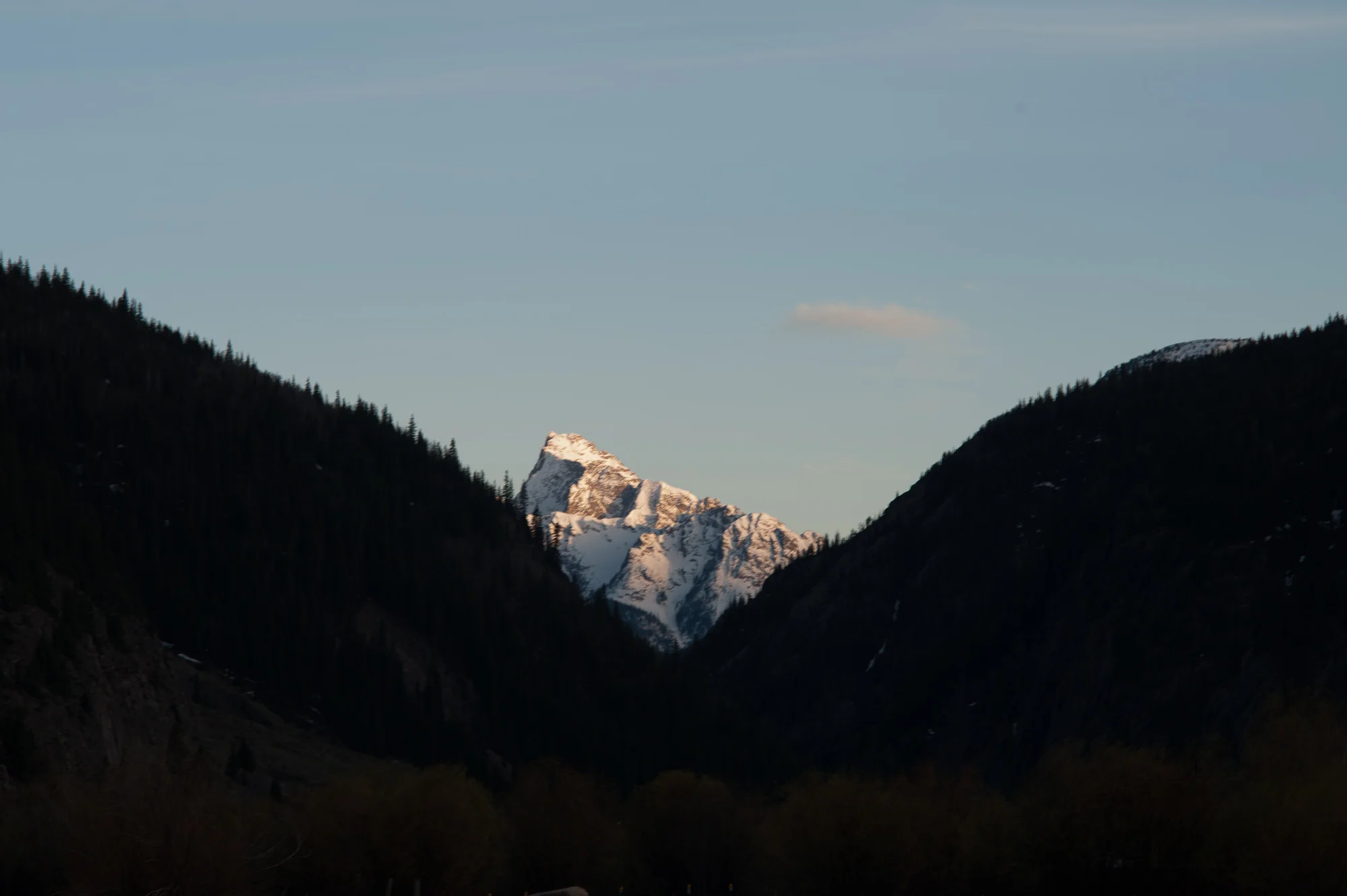
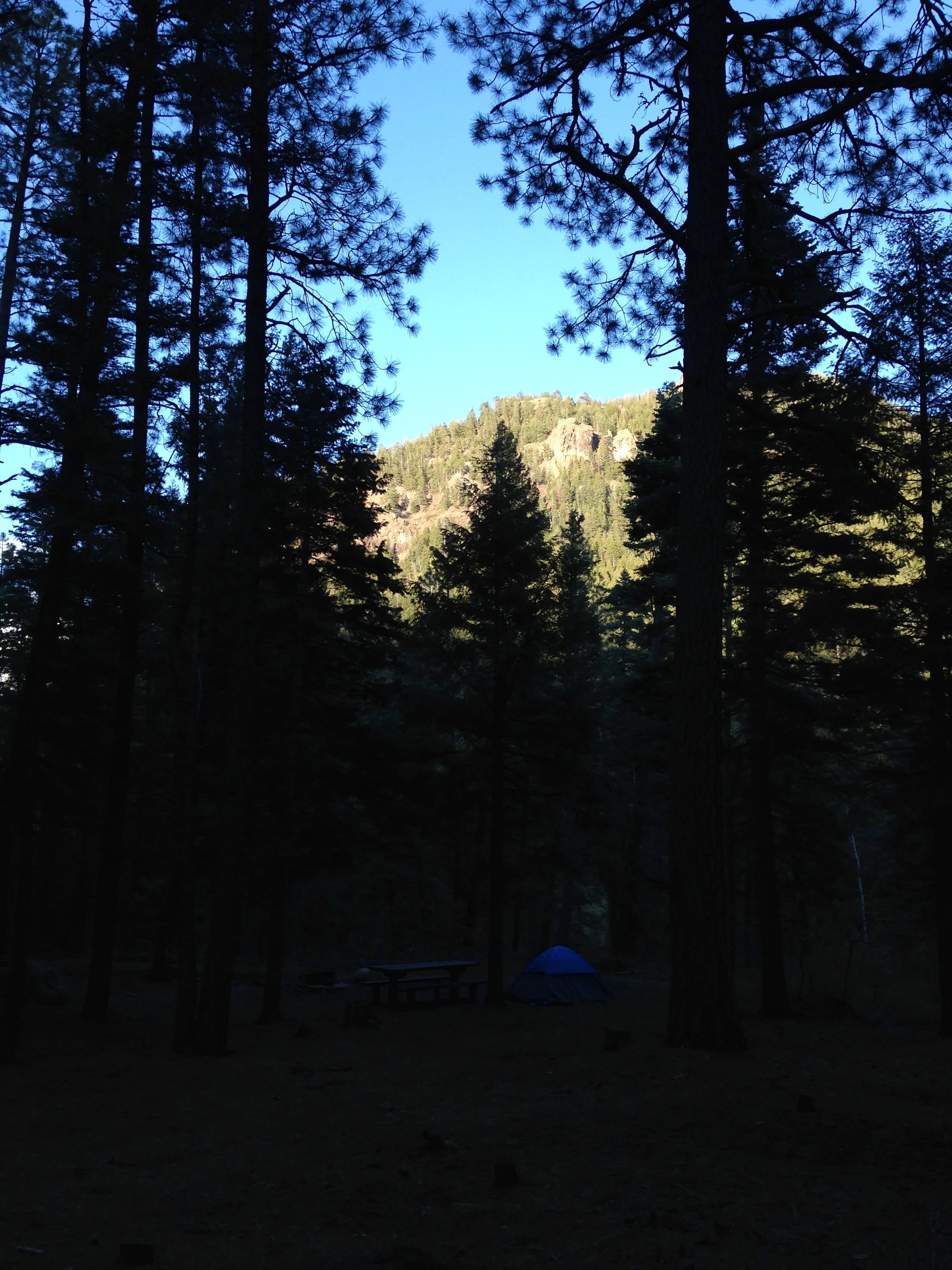
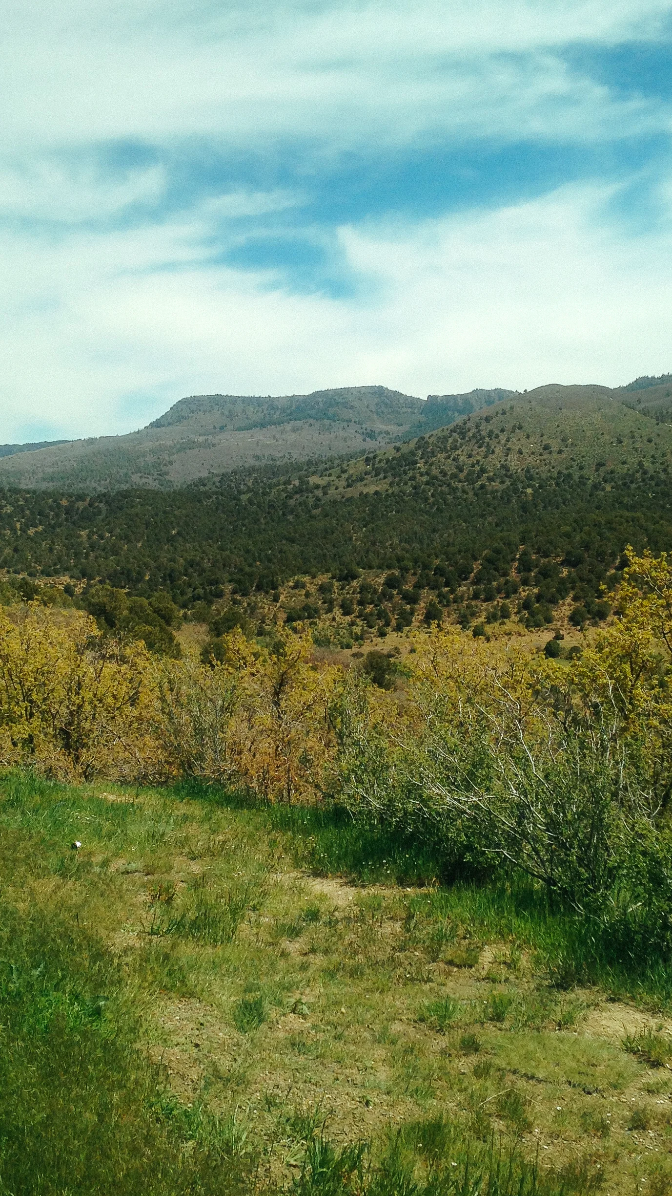
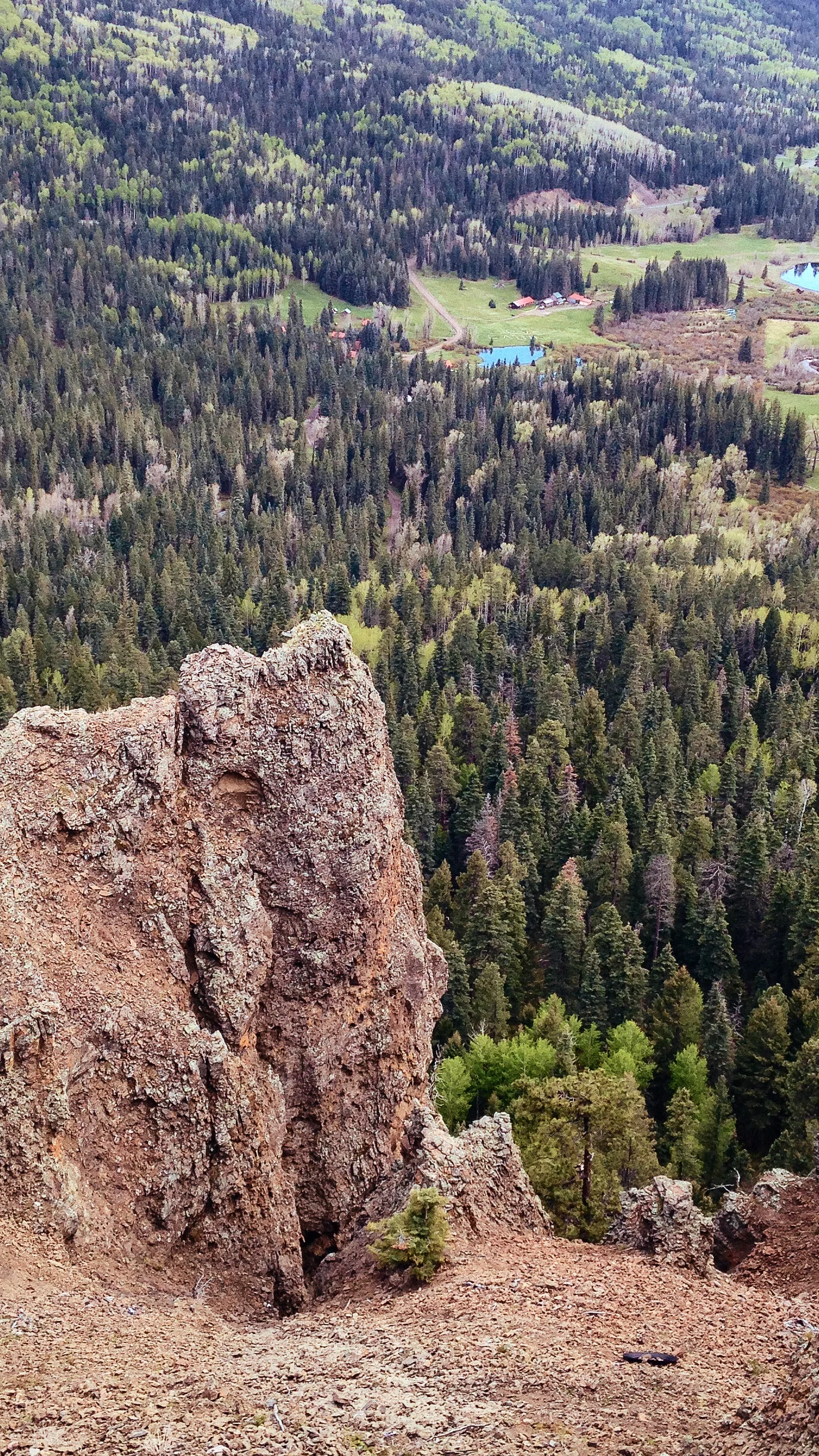
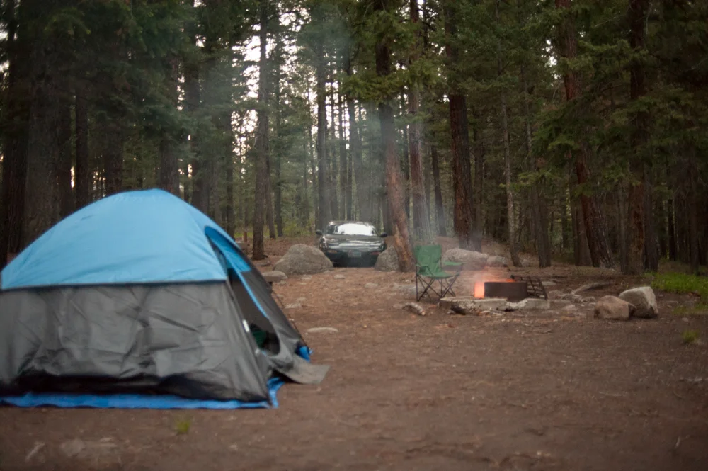
I found myself waking up before my friend did so I took a quick walk around our camp site. The joys of camping in new spots is being able to walk around in the early morning light. The scenery was breathtaking as we were right on the edge of the Rocky Mountain National Park after all.


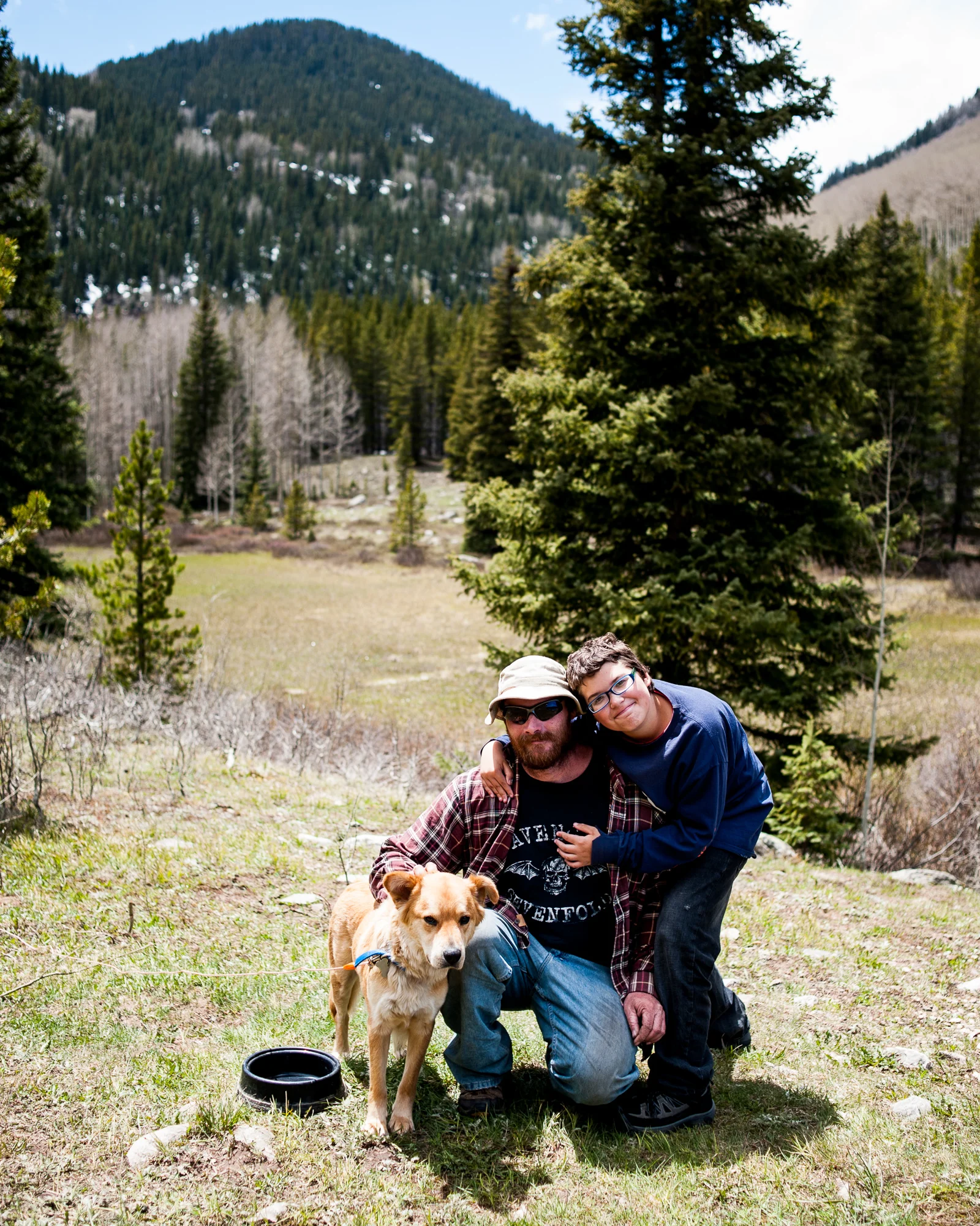
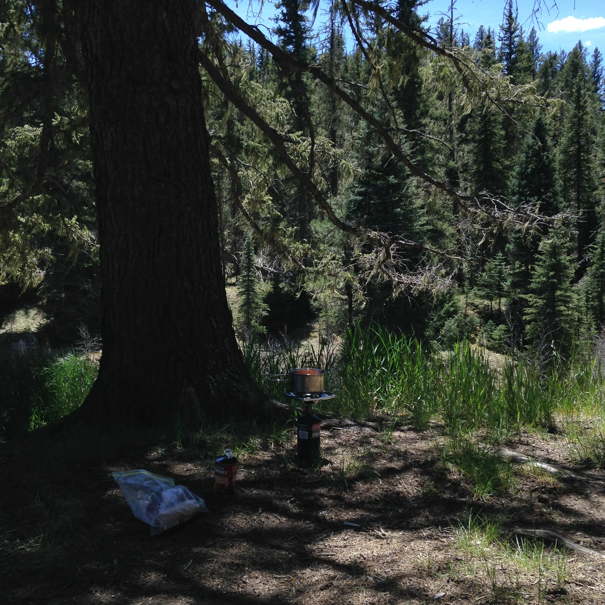
Once we both had eaten breakfast we headed out to Rocky Mountain Park to go for a Hike. Now I’d figure we’d go maybe a mile or two and planned according to that. However Ryan was up to a 5-10 mile hike and I hadn’t realized that as we never discussed just how long of a hike to do. To make matters worse Ryan drove his car and I left my car at the campgrounds along with my more appropriate camelback backpack instead of my shoulder sling camera bag with 1 bottle of water in it. However Ryan did bring a water filter kit, thus I was able to keep my small half liter bottle filled.
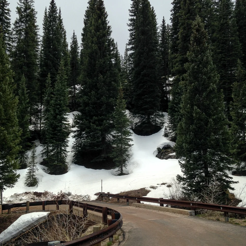
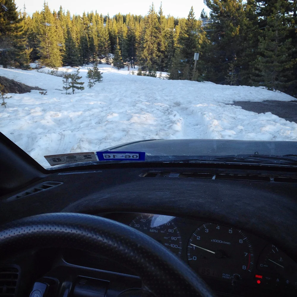
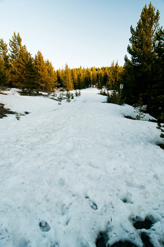
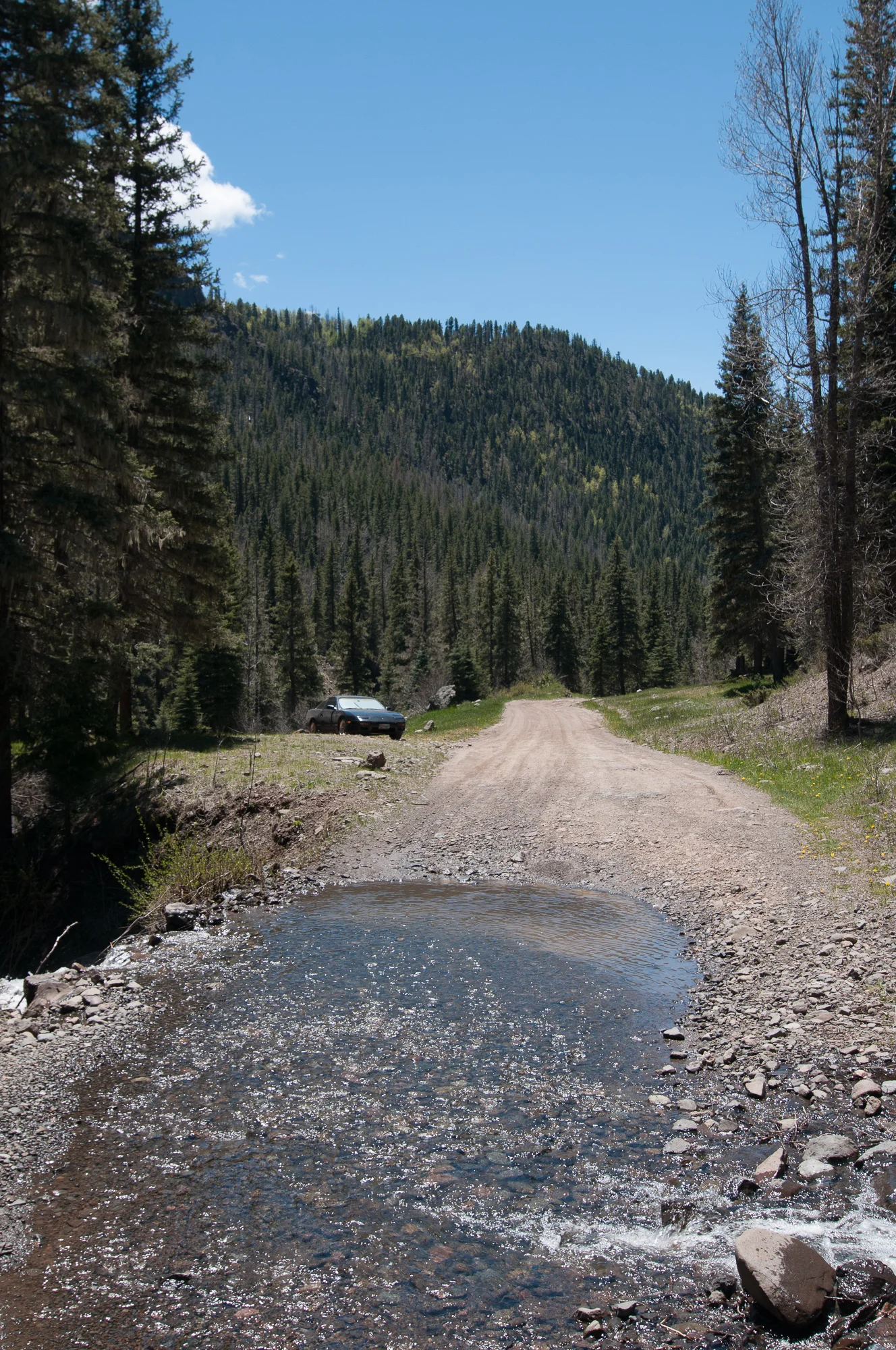
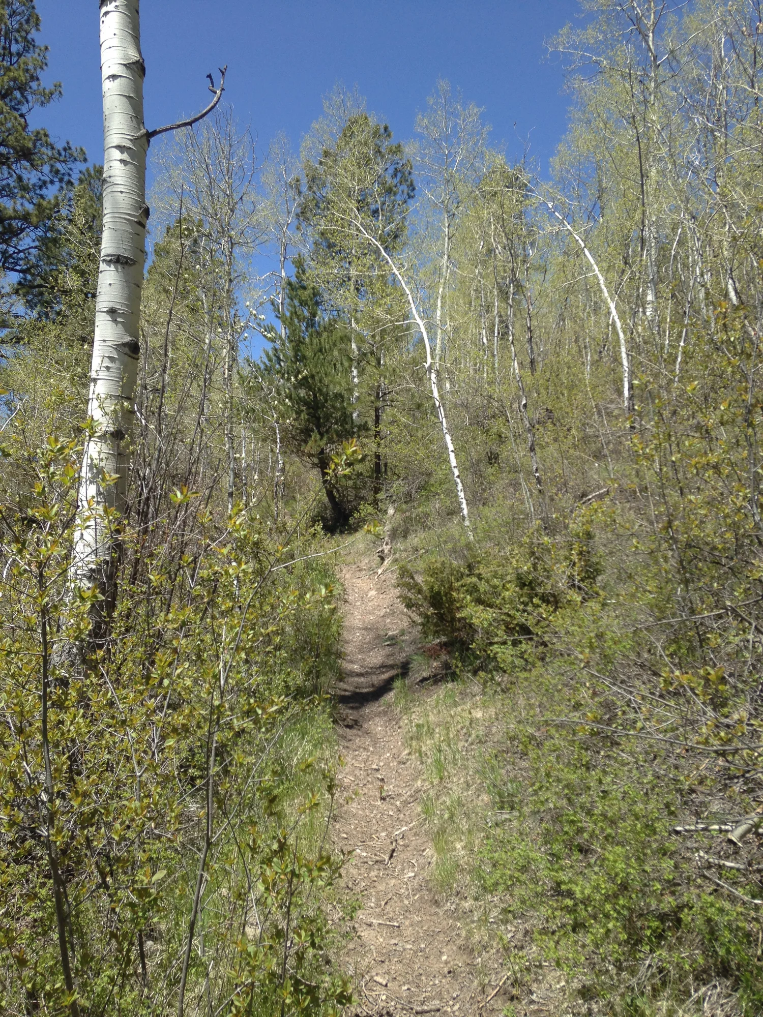
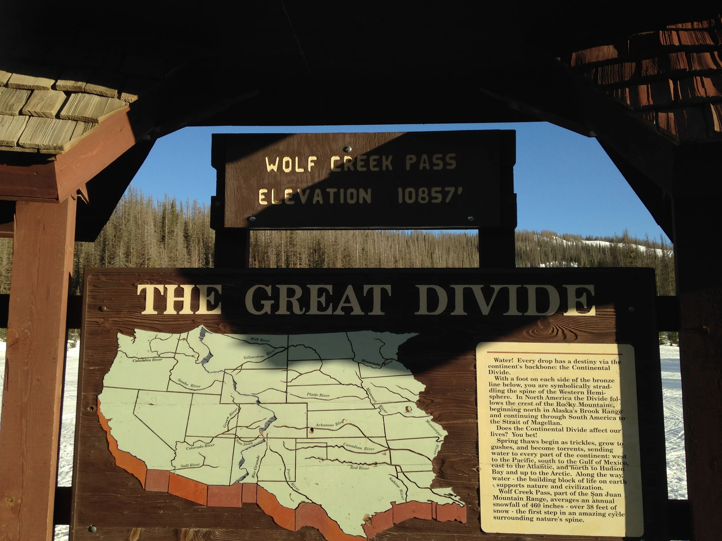
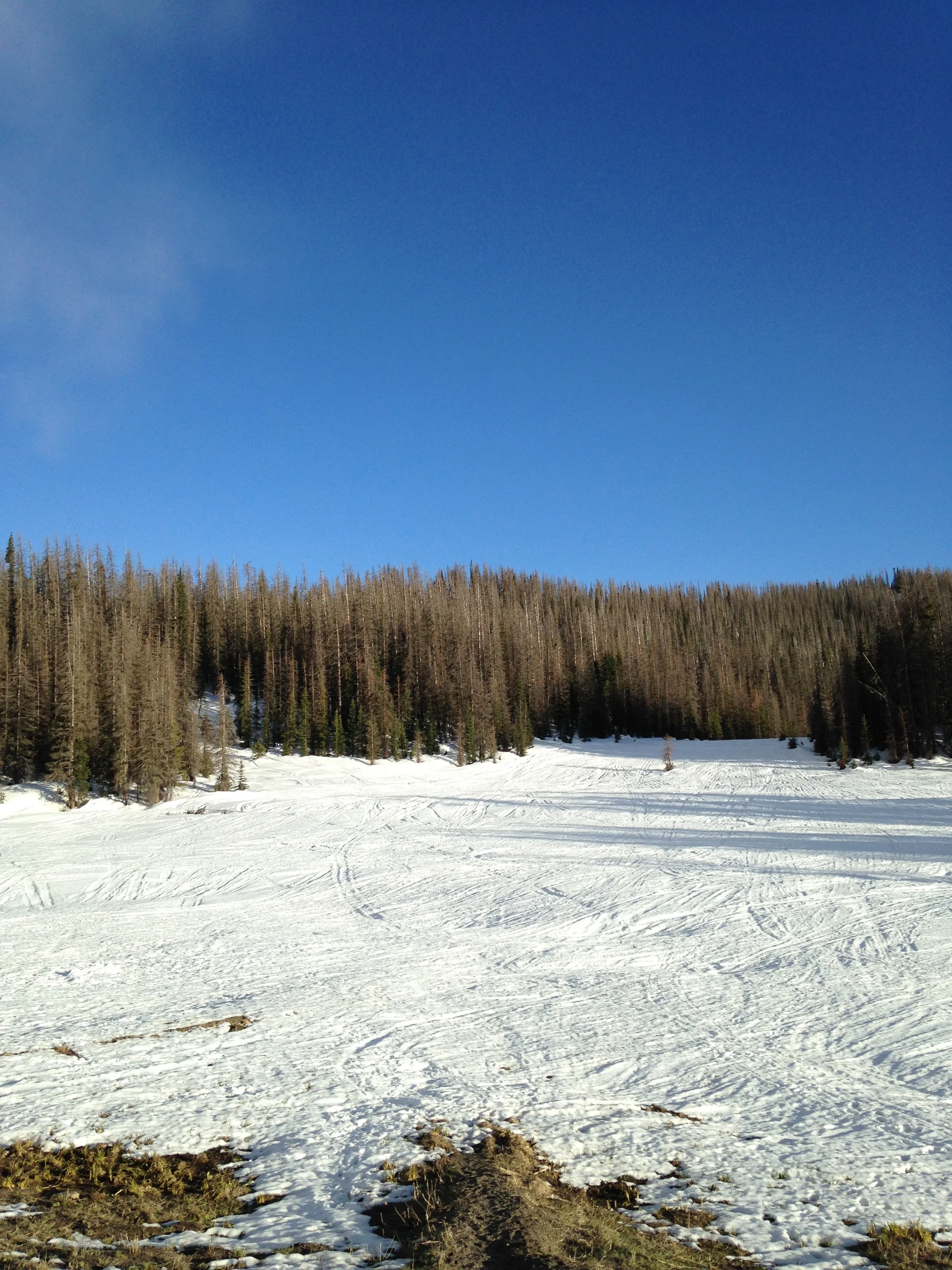
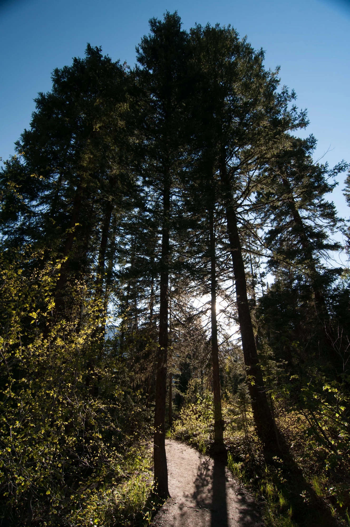
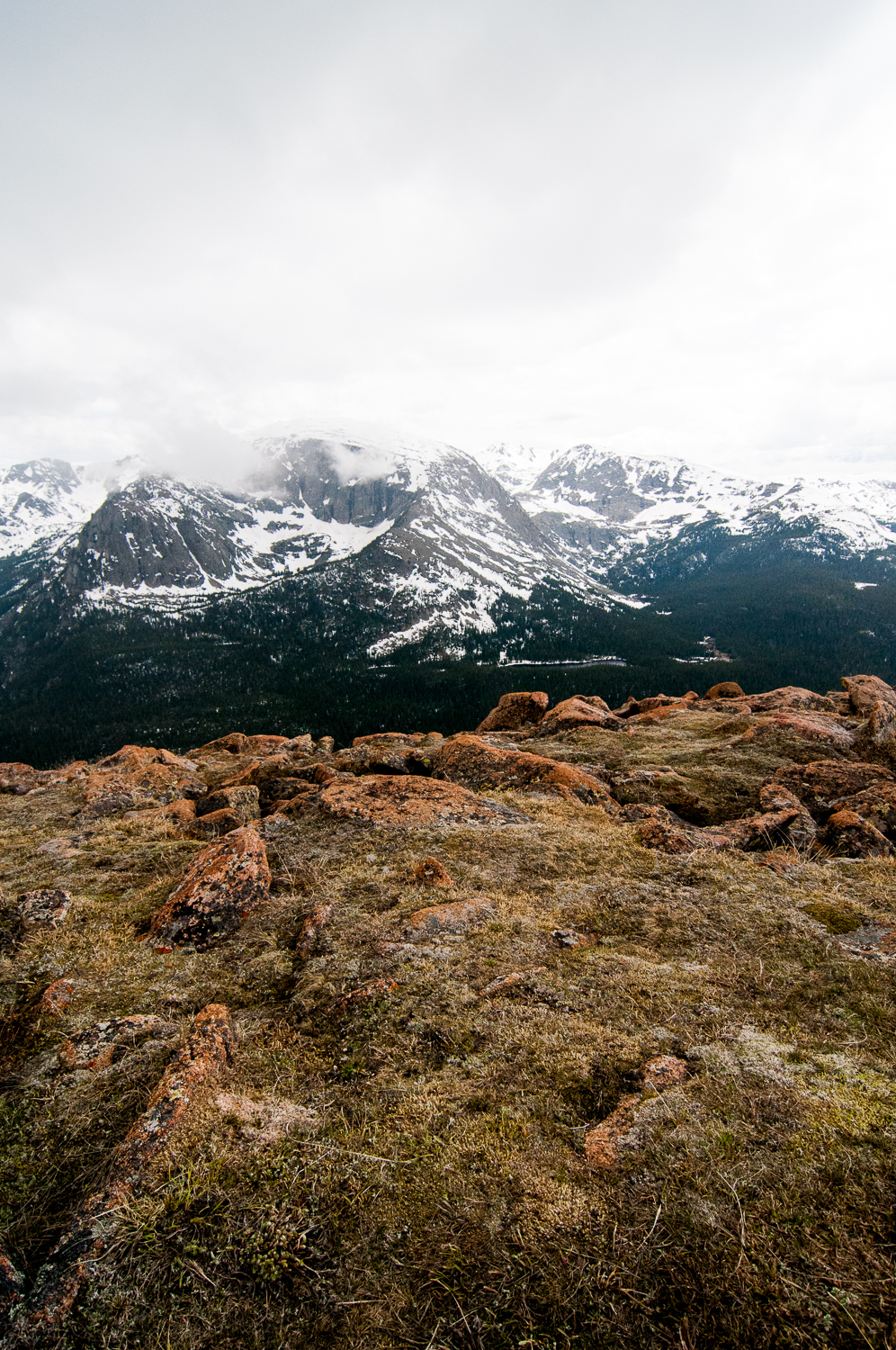
Our hike went without any problems, although we did lose the trail at one point. I never realized just how long until the snow melts at the high altitudes. Despite it being early June the Rocky Mountain National Park was still covered in a good amount of snow, and so were the trails. We did have a basic trail guide map, although it was worthless when it came to trying to find just where the path split off. If there was a sign for the trails, it was still snow covered.


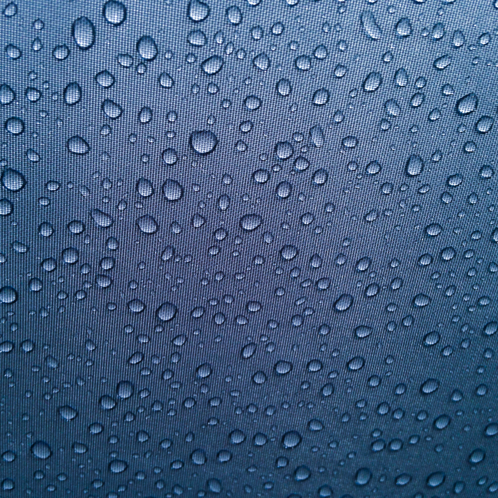
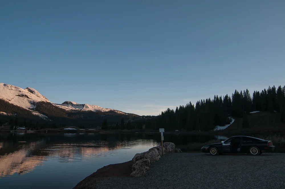
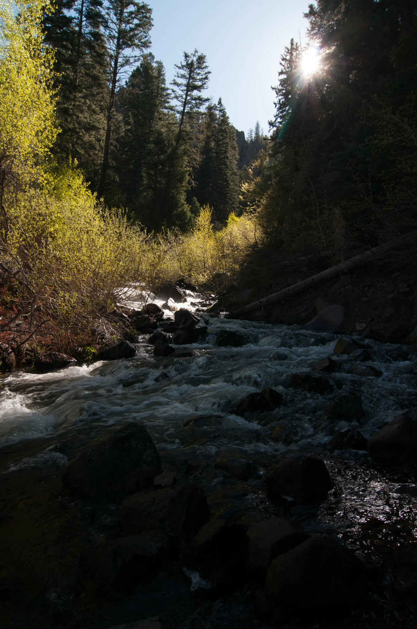
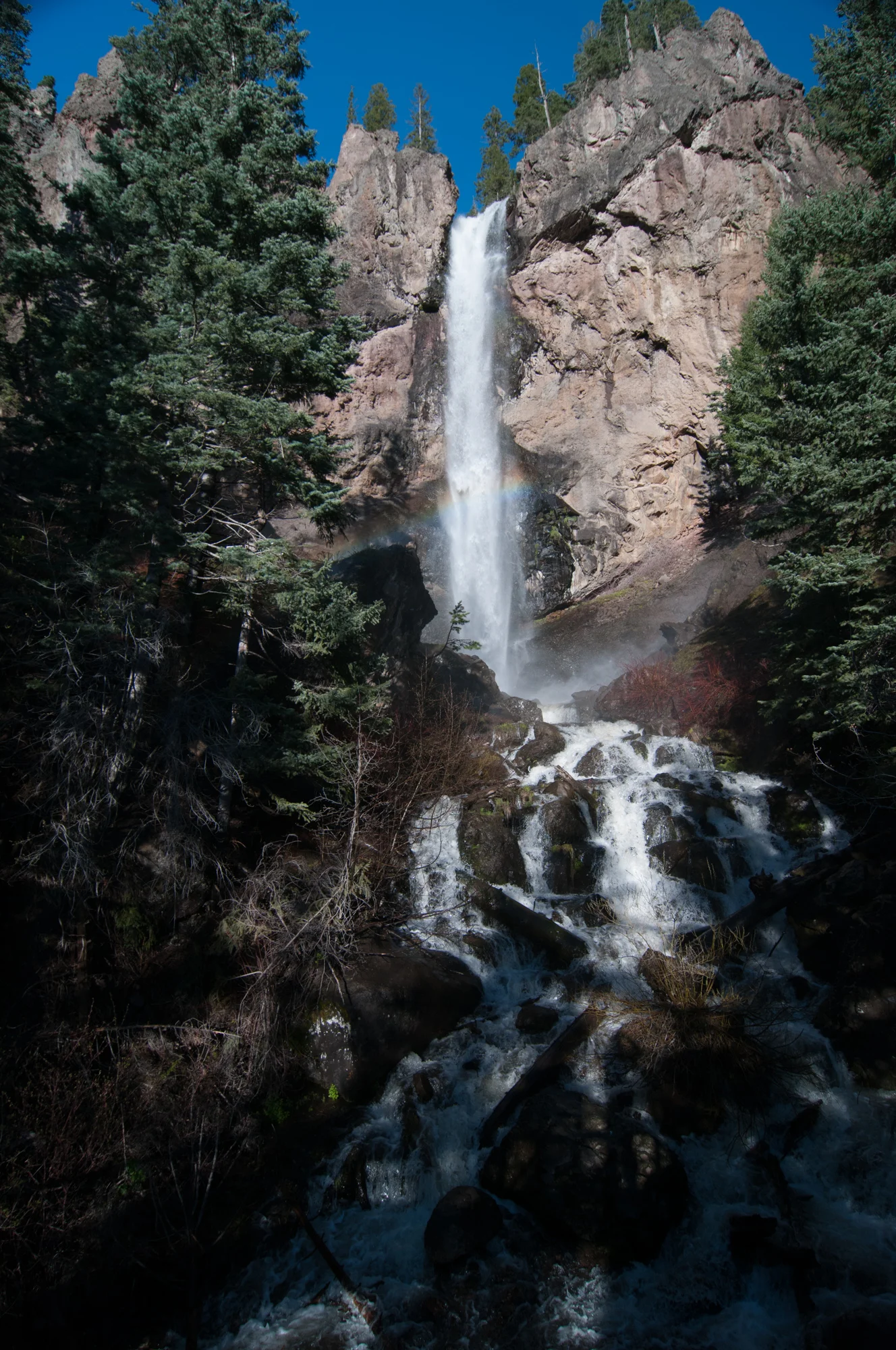
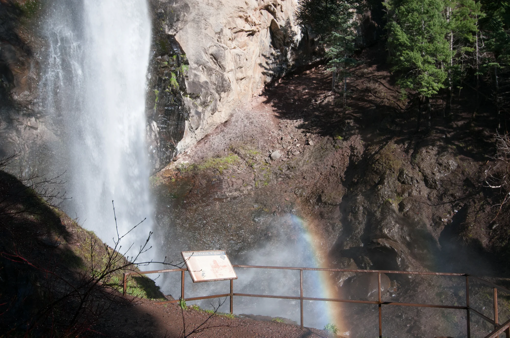
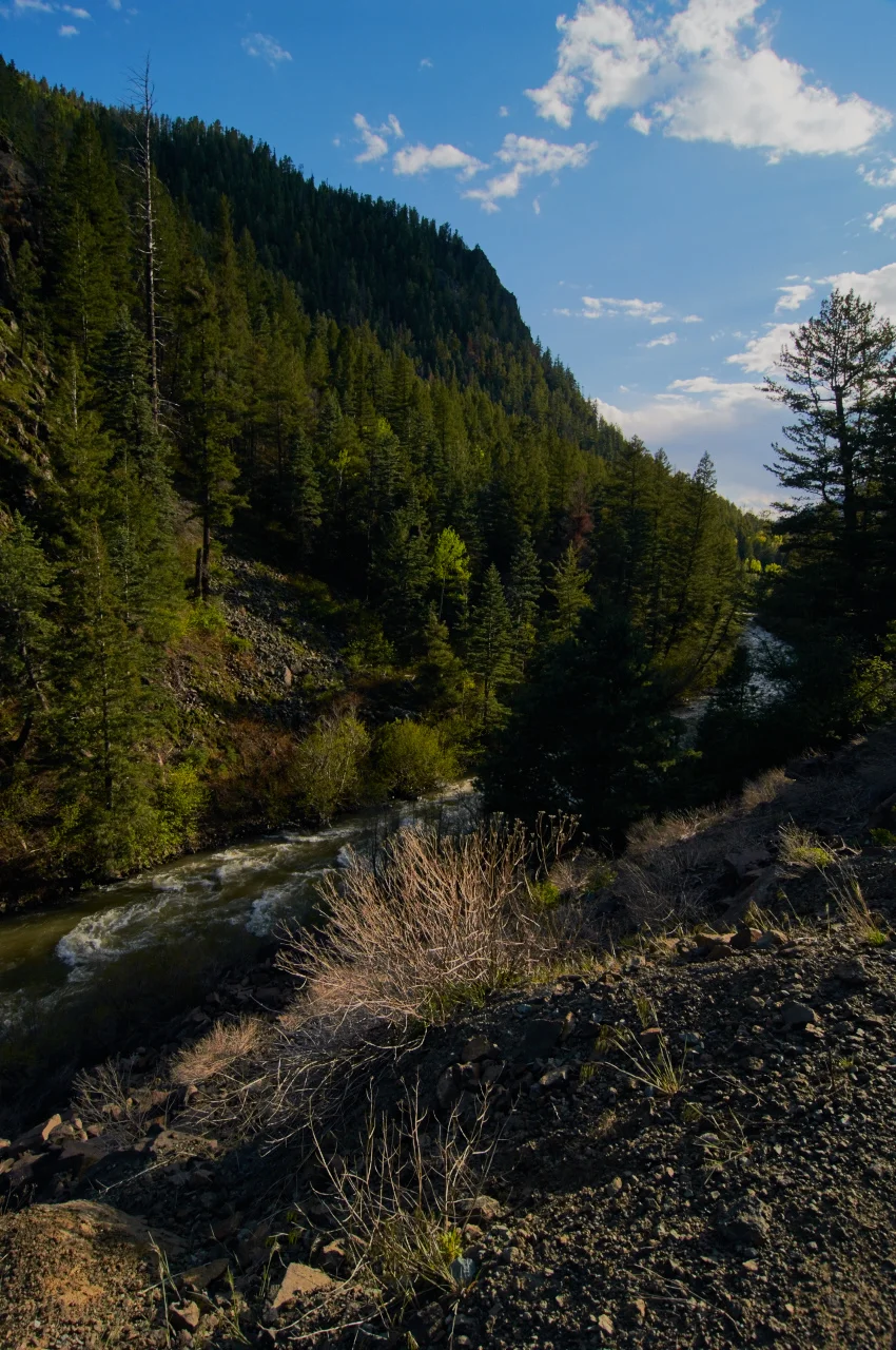
I never have seen such clear water in my life, while not obvious in the photographs I could not tell where the water line was when looking down at the rocks. That is how clear the water was! Also it was damn cold too.
In the end we did about 5 miles around trip, tired from hiking through the mountains at the high elevation we headed into town to find some food.
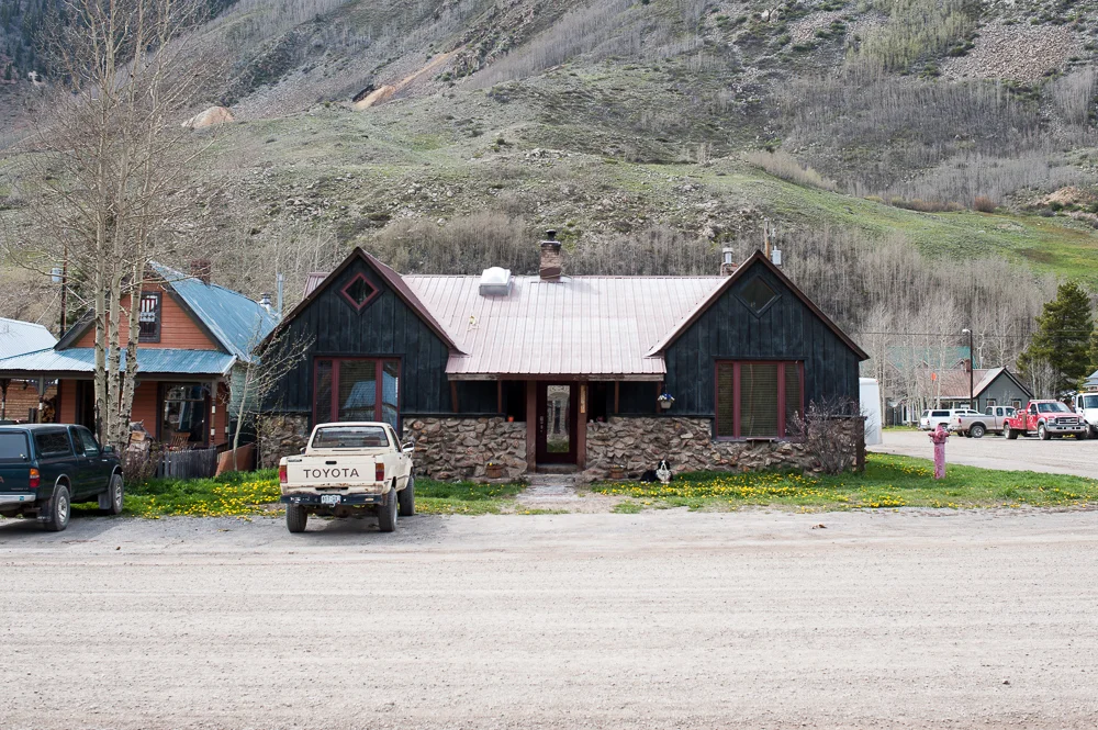
Ended up stopping at The Wapiti Colorado Pub where I was able to try my very first elk burger which was absolutely delicious, and they had a chocolate porter as a beer option on their menu. Colorado sure does have quite the selection when it comes to craft beers.

Mmmm beer.
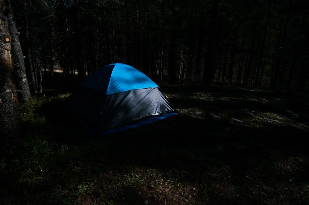
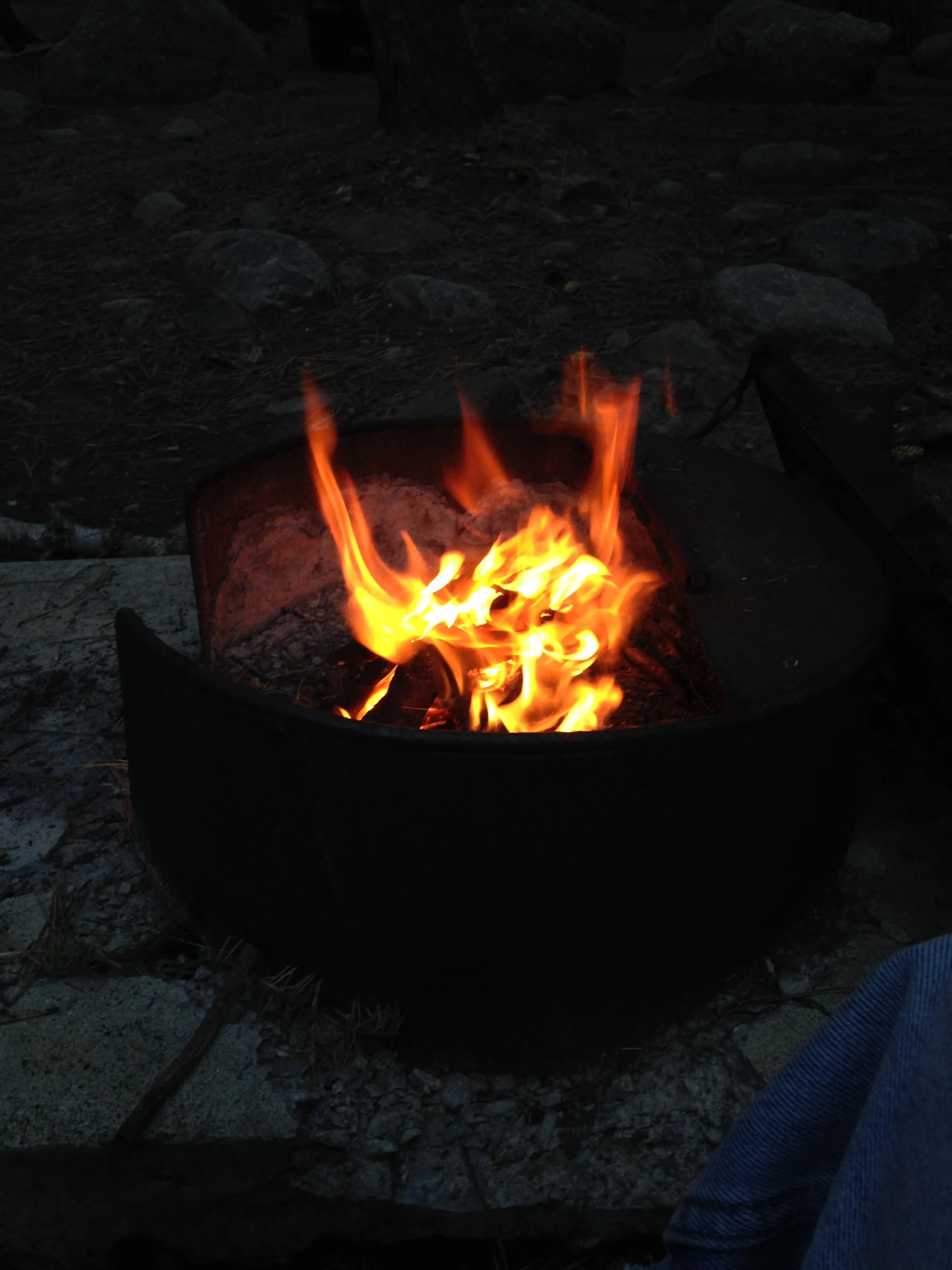
We called it a day after we were done with our food and we headed back to camp for the night.
Day Ten
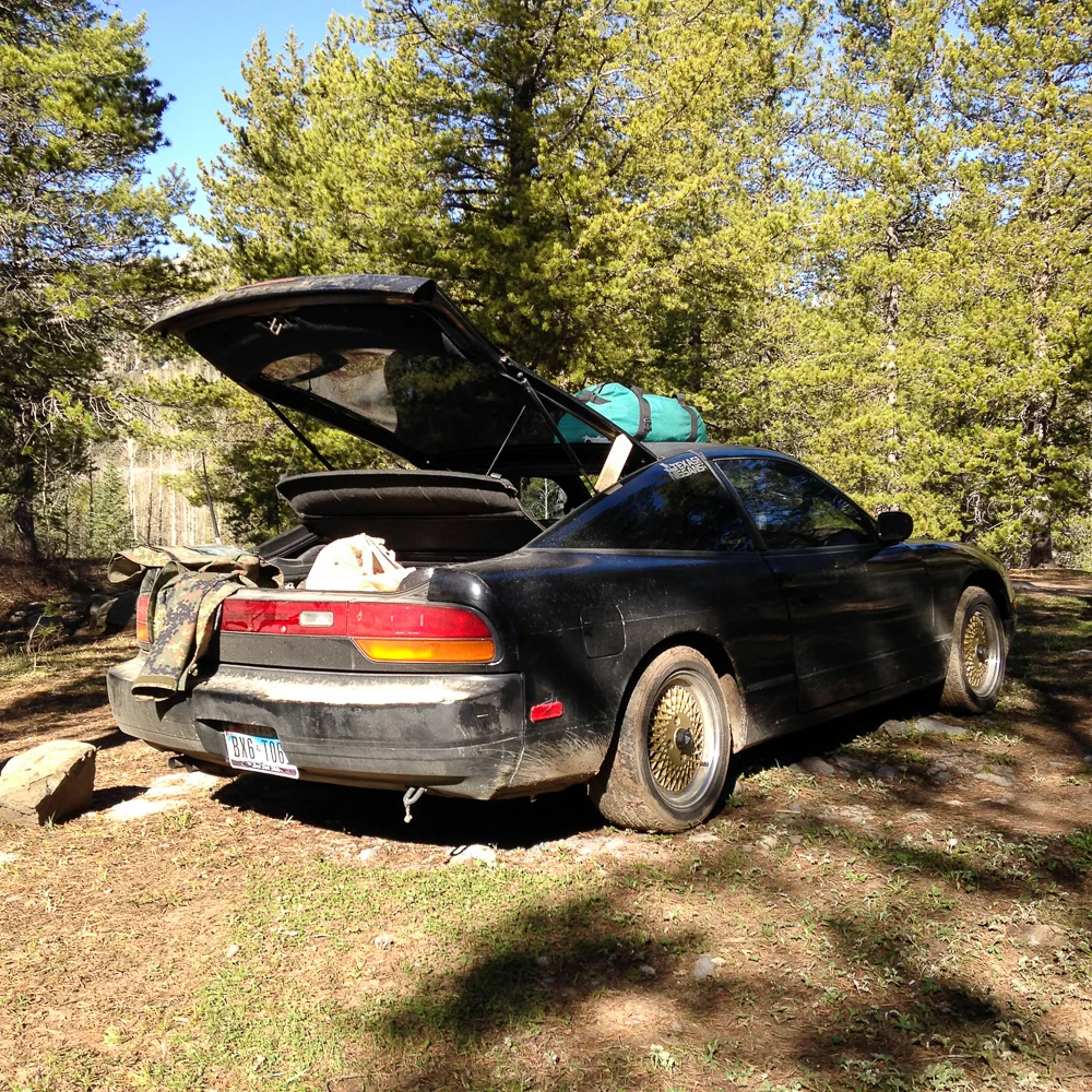
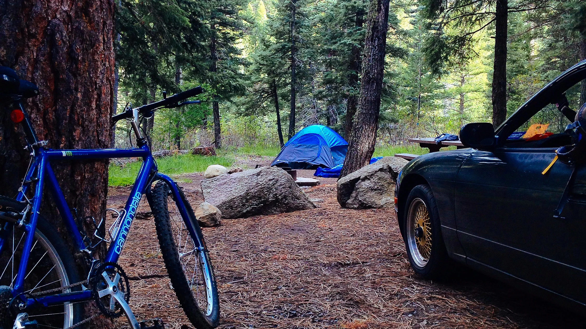
This morning I found myself to be the one sleeping in late. Ryan had woken up early to pack as he had to head back home and had a 10 hour drive ahead of him. So after joining me for four days I was back to my solo trip which felt odd as it was nice to have my friend join me on my trip.

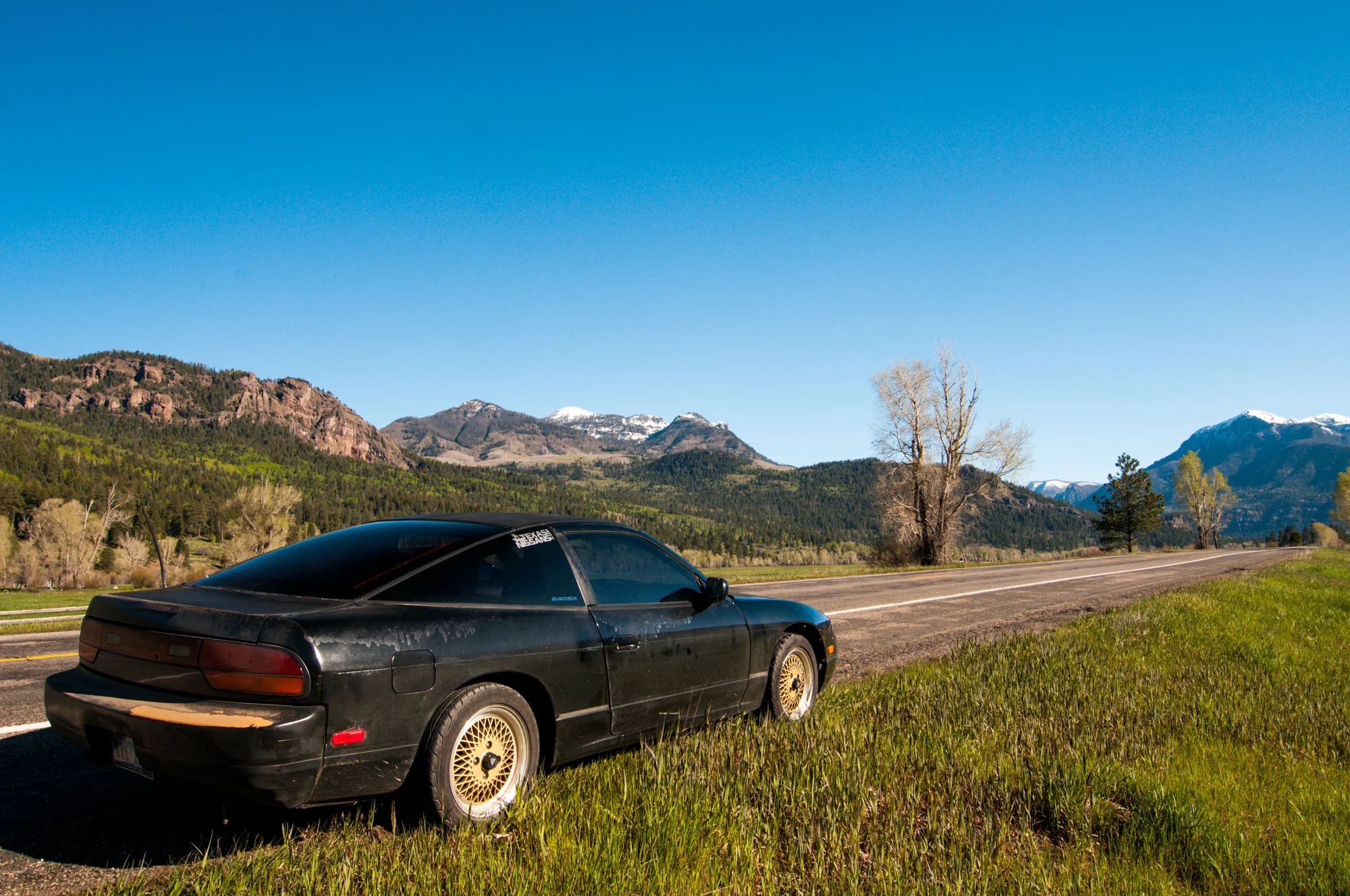
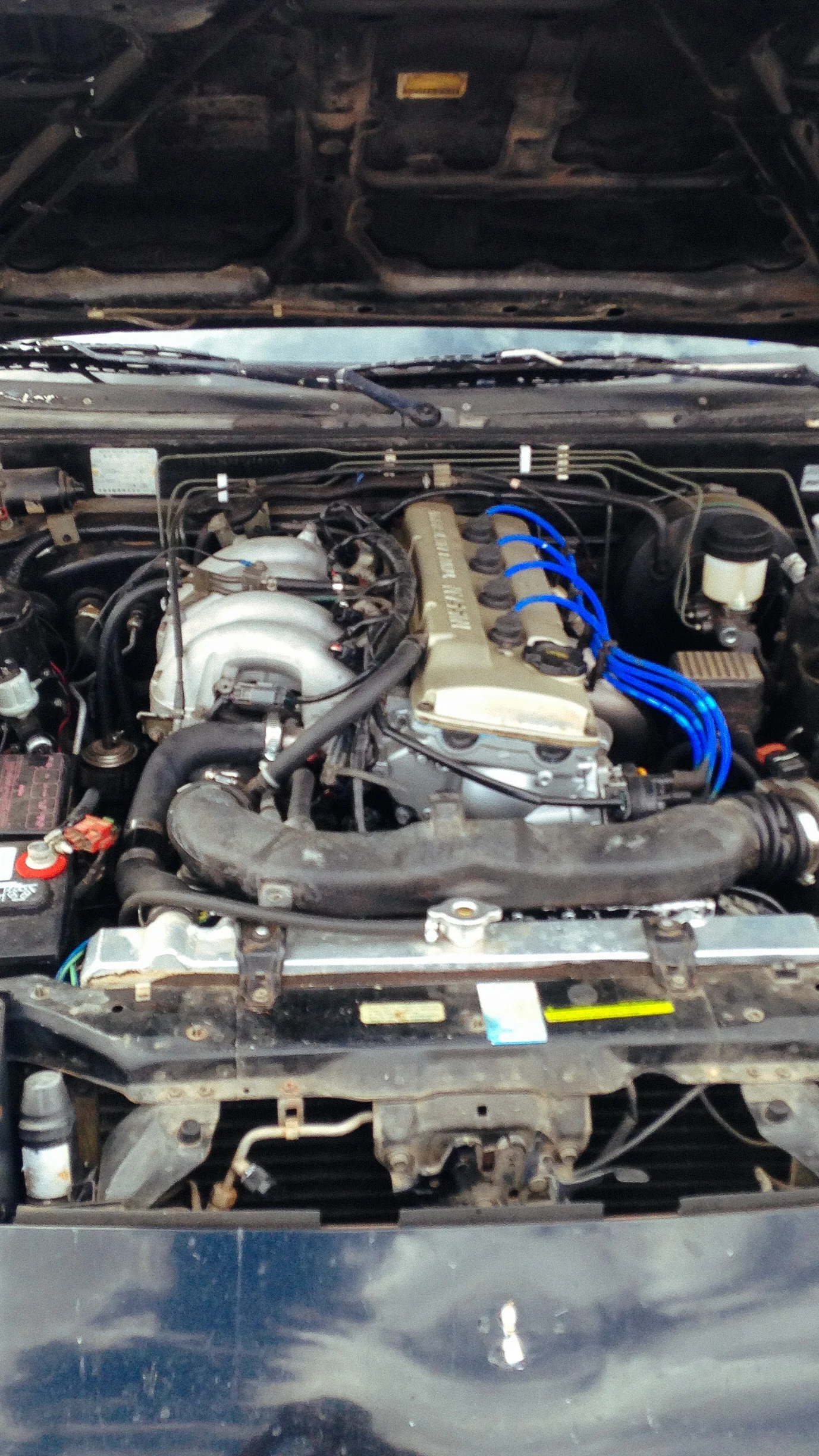
I packed up my stuff shortly after Ryan did and headed into town. My car had decided it was time again to break down on me. I noticed my car was a bit louder the day before and after investigating realized that my exhaust was somehow missing a bolt. My car is fairly low so crawling under it wasn’t an option and the area we had camped in provided no options unlike our last option. I figured all it needed was a new bolt and I would be good as new.
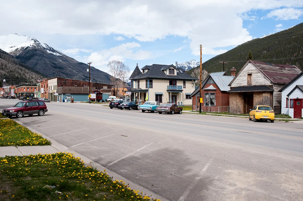
Ended up driving into town and finding two local mechanics who were right next to each other in the same area. Both refused service saying it would be a week before they could work on my car. I honestly think the fact I mentioned it was my exhaust scared them off, as being up in a snow country the exhaust systems are likely nightmares to work on when it comes to older cars. Being from Texas rust is not a major issue.
Feeling disappointed I drove around a bit looking for an area to repair my car at and ended up in an old defunct Sinclair gas station. Just my luck the curbs were low car friendly, and there happened to be a rock retaining wall with loose rocks on the ground. Between the curbs and the rocks I was able to get the car just high enough so I could work on it! After I got access to exhaust I realized I needed a new gasket and bolt. Thankfully there was a Napa auto parts store down the street within walking distance. Well in the worse case I did have a bike with me.

After grabbing a new bolt, gasket, and zip ties, as I was running low on them, I was able to repair my car in about twenty minutes, only took two hours of running around till I was able to get to it...

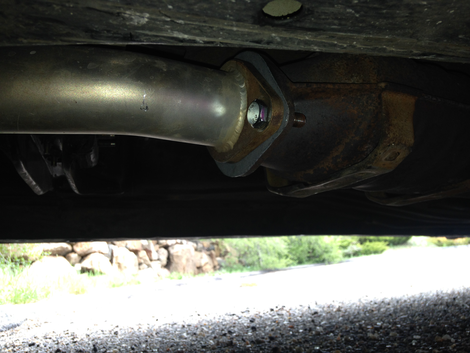

Good as new!
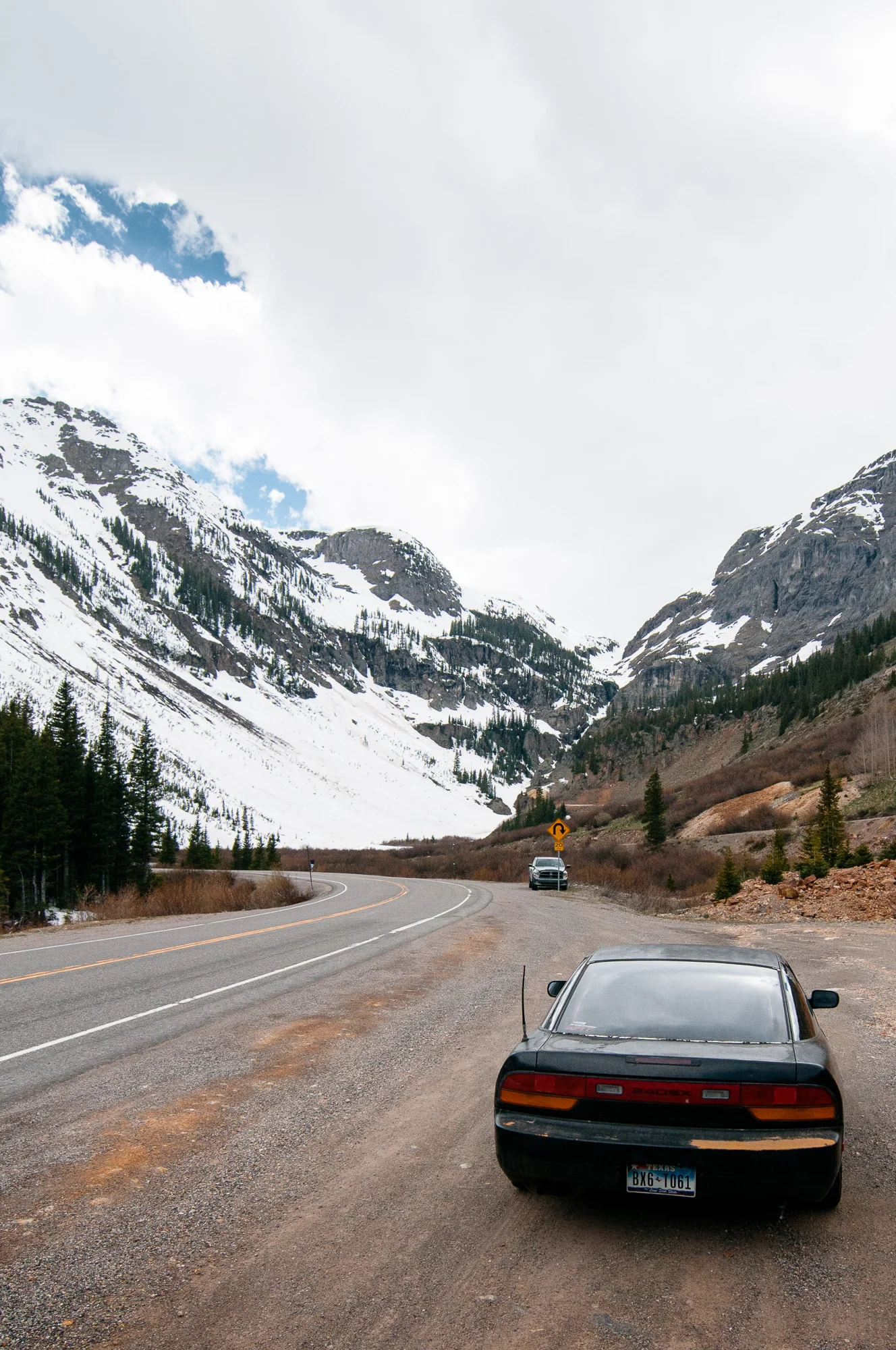
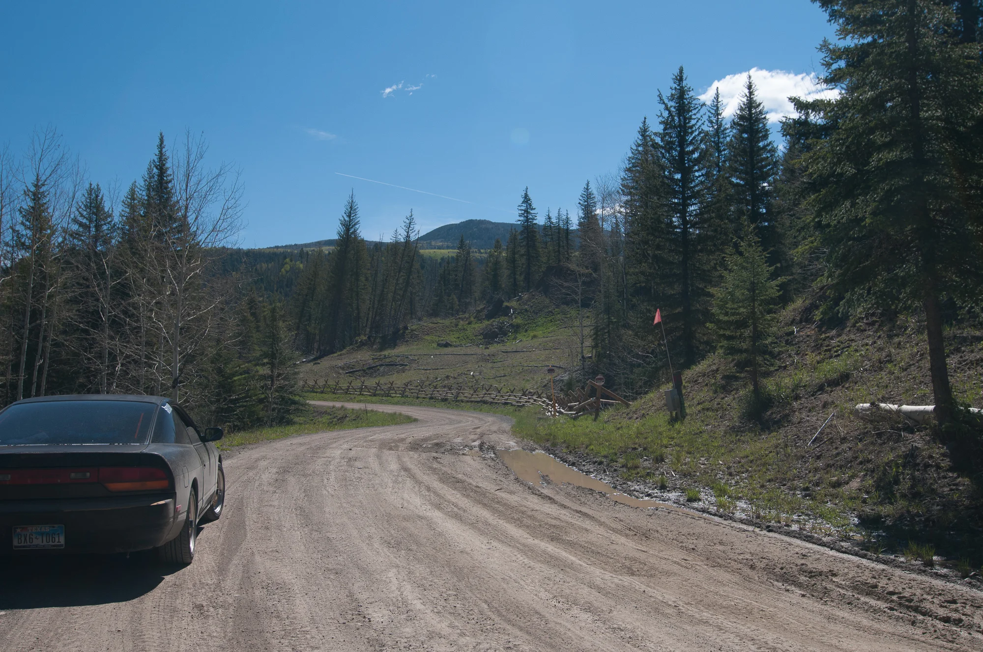
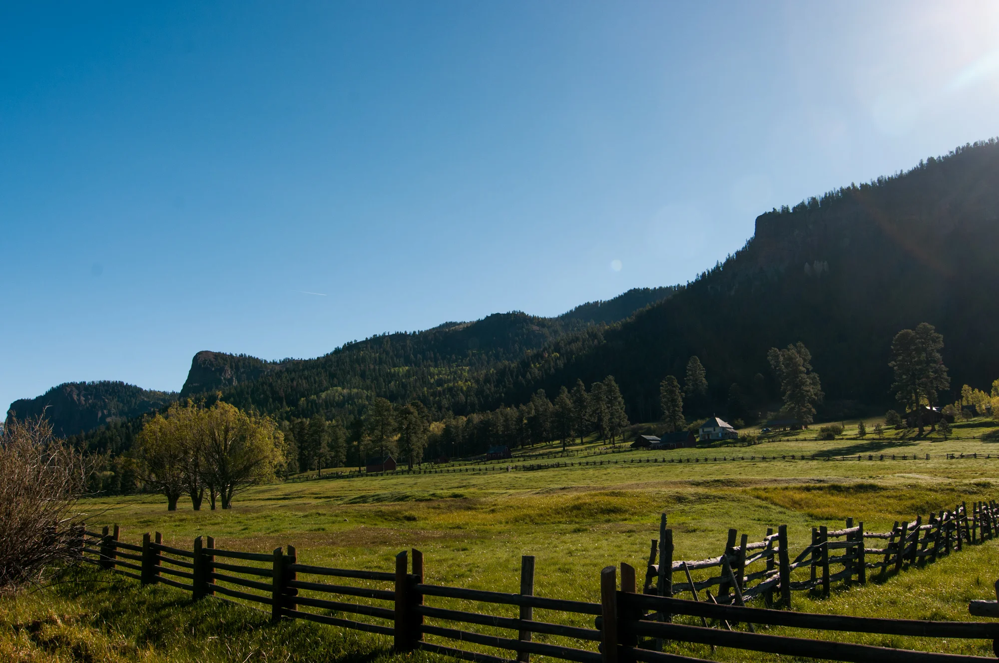
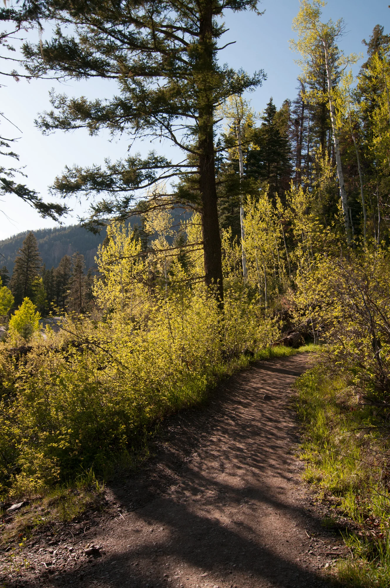
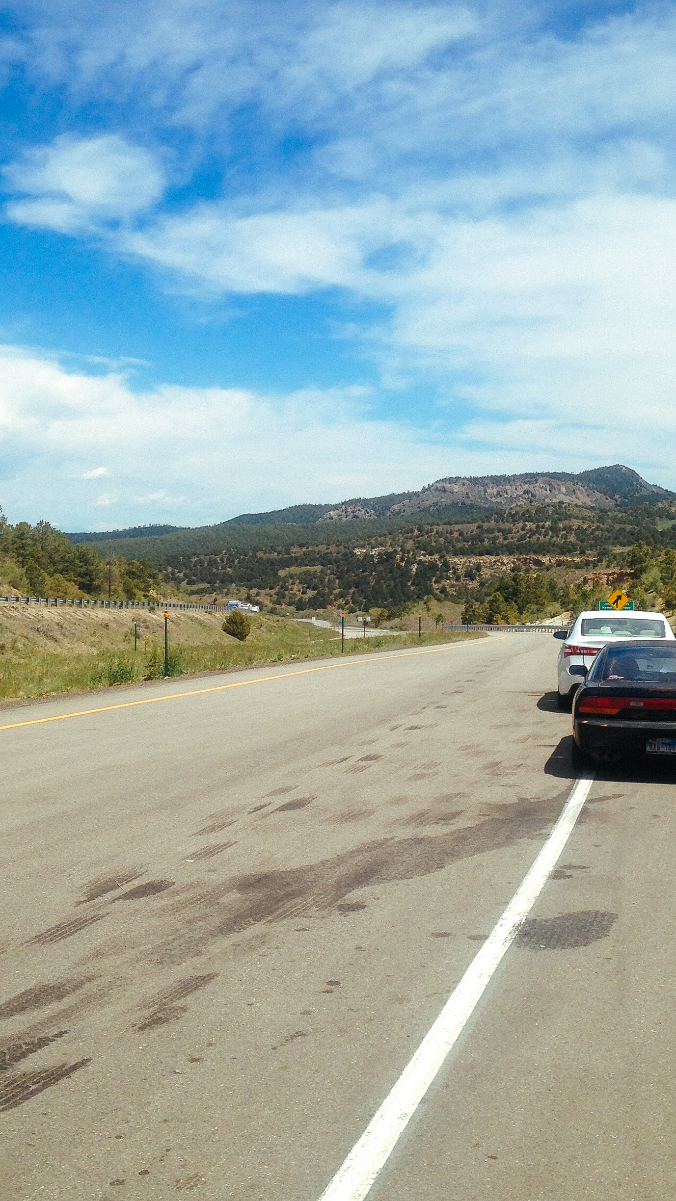
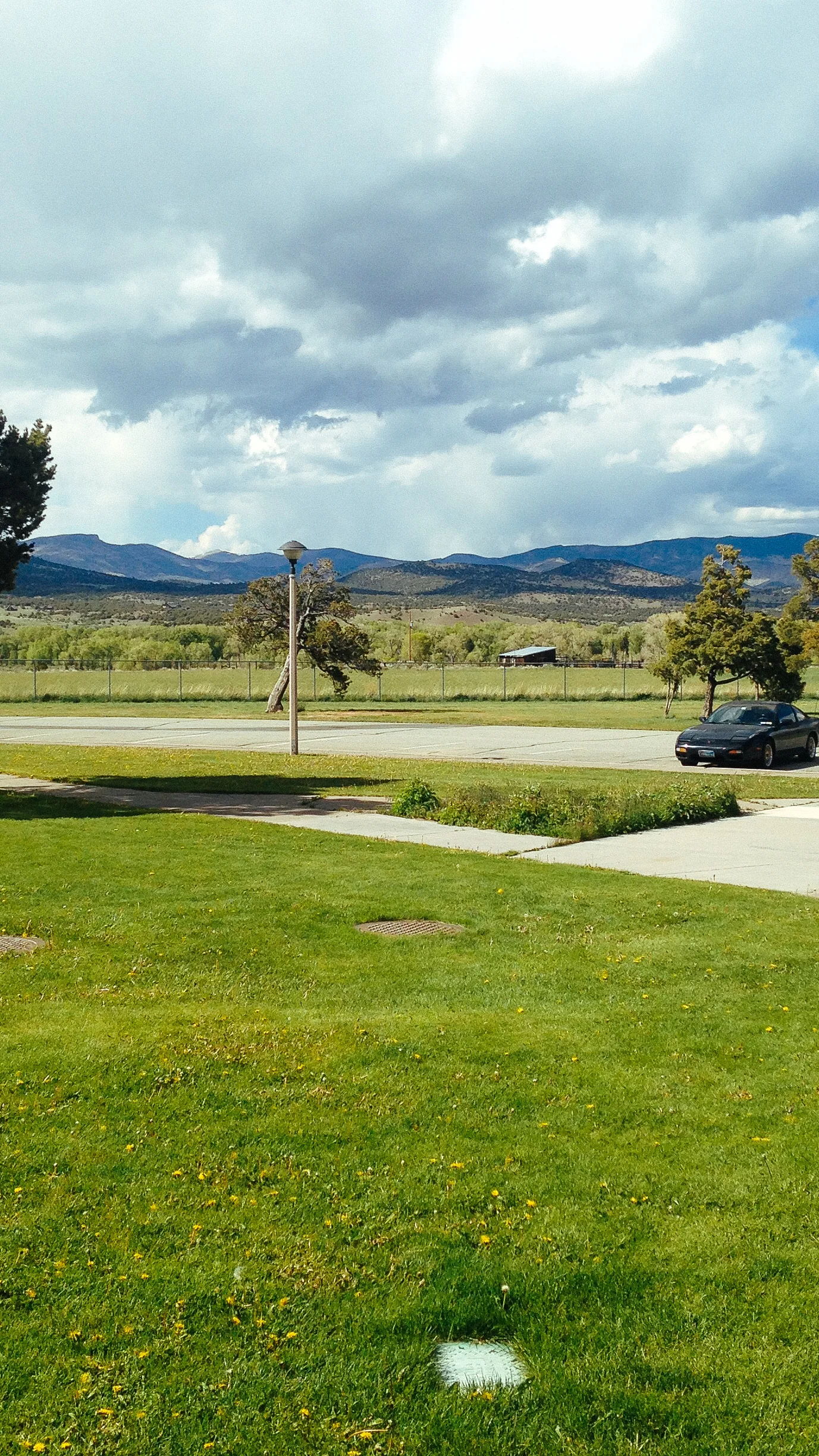
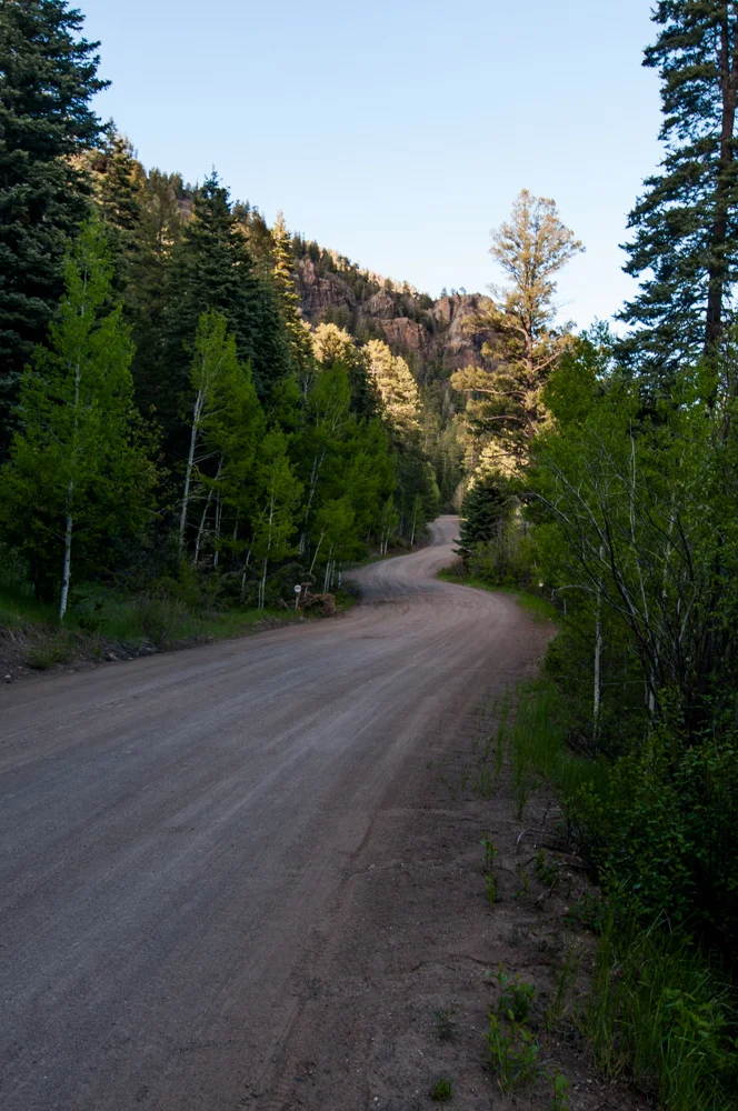
With my car now back to normal I headed back to Rock Mountain National Park to take the scenic route and as a bonus was quite the fun road to drive as well. Even got to spot a coyote making his way through the park as well.


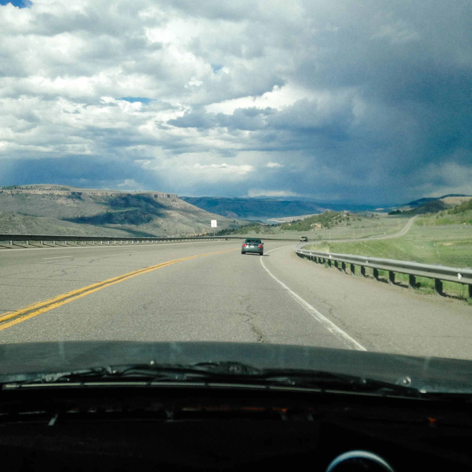
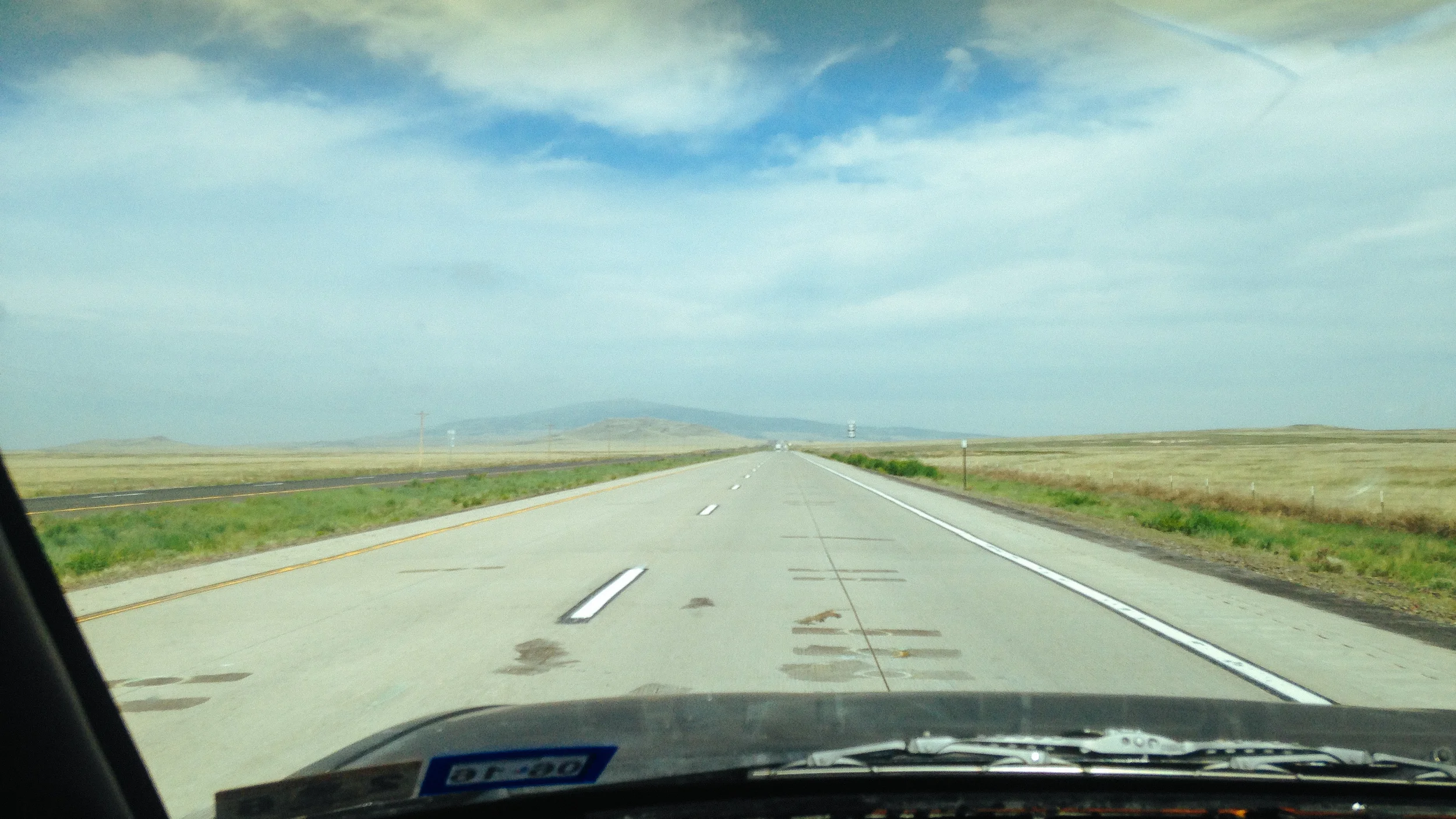
After the park I initially was going to drop down to highway 50 in order to camp in the forest and I wanted to drive 550 one last time before heading back, however I ended up driving on I-70 and was glad I did. Glenwood canyon is a beautiful drive and the rest stops double as park which were quite pleasant.


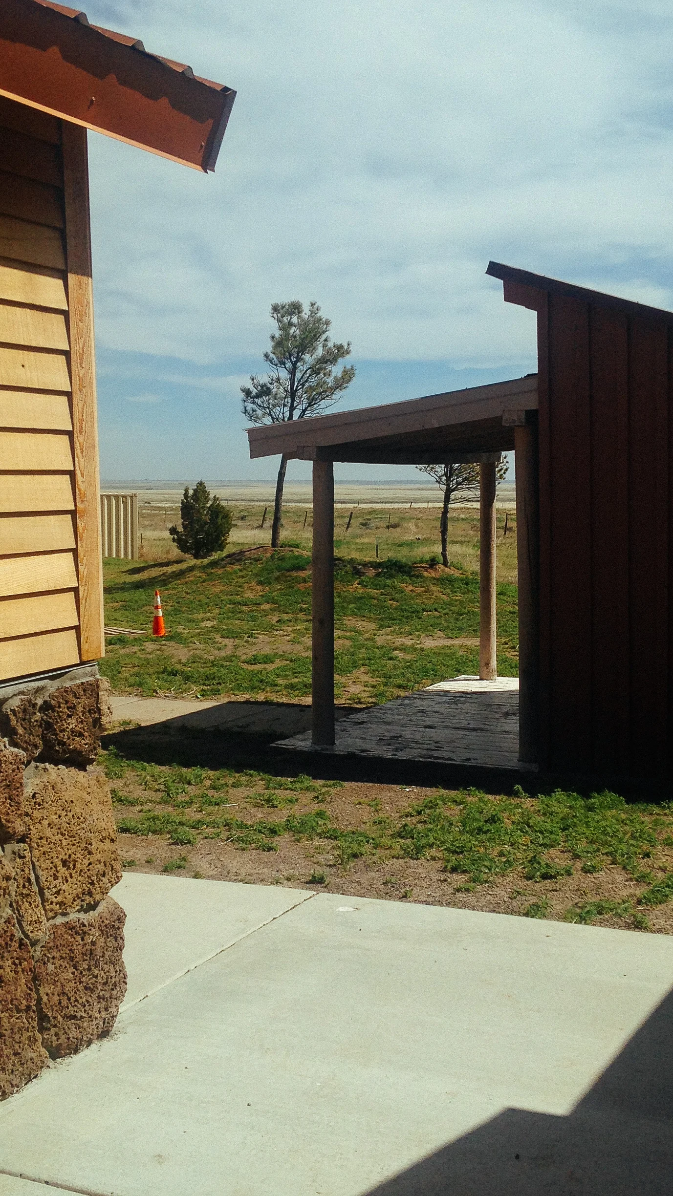
I drove until I was tired enough to finally call it quit for the day, pulling into a rest stop area to spend the night. While I would have much rather spent the night camping, I had no luck finding a spot for the night.