The morning was cold, damp, and drizzly so I opted to stay in my tent until around 8am, quite a late start from what I’ve been getting use to.
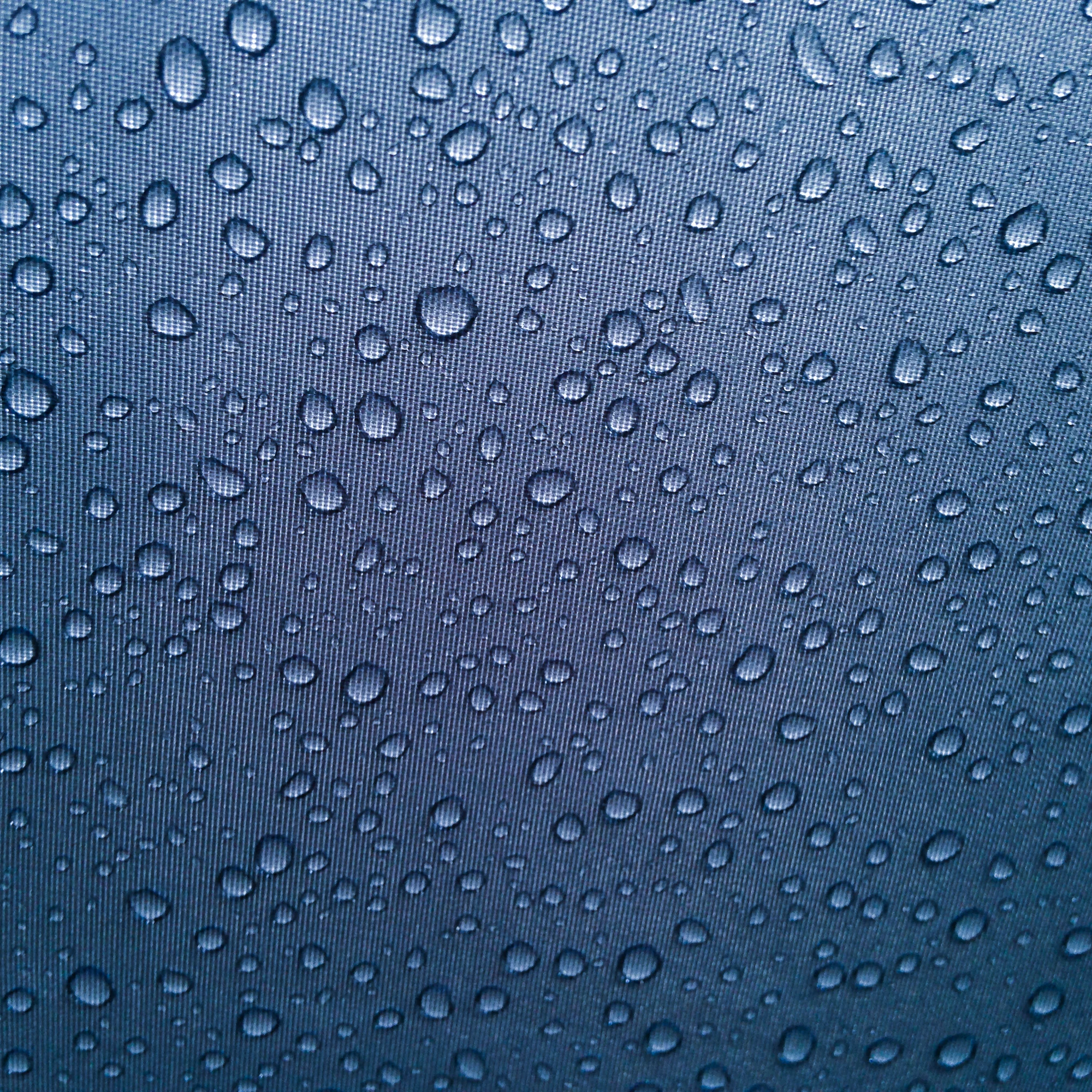
Rain drops against the tent.
Today was the most uneventful day of my trip so far, I talked to Matt and Brandon for awhile this morning while I begin packing up my equipment at a leisurely pace. Although in my sleep stupor I had spilt my coffee with Brandon promptly laughing at me. Between packing up, eating my breakfast, and talking to Brandon and Matt by the time I had finished with everything it was already approaching noon.
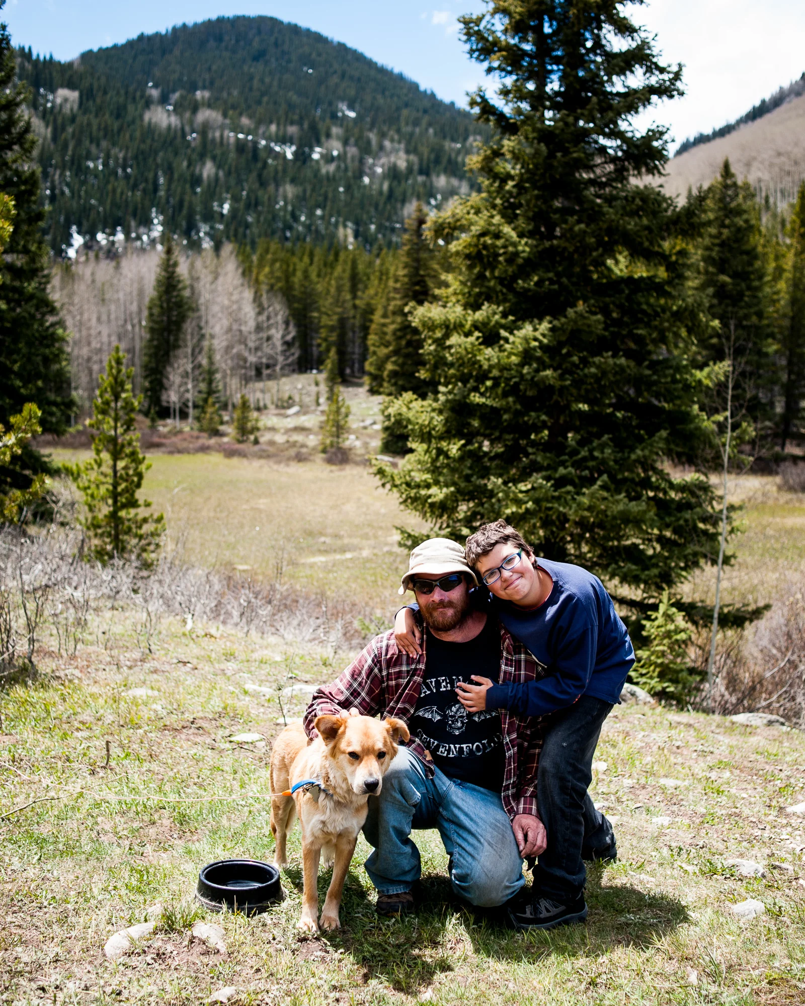
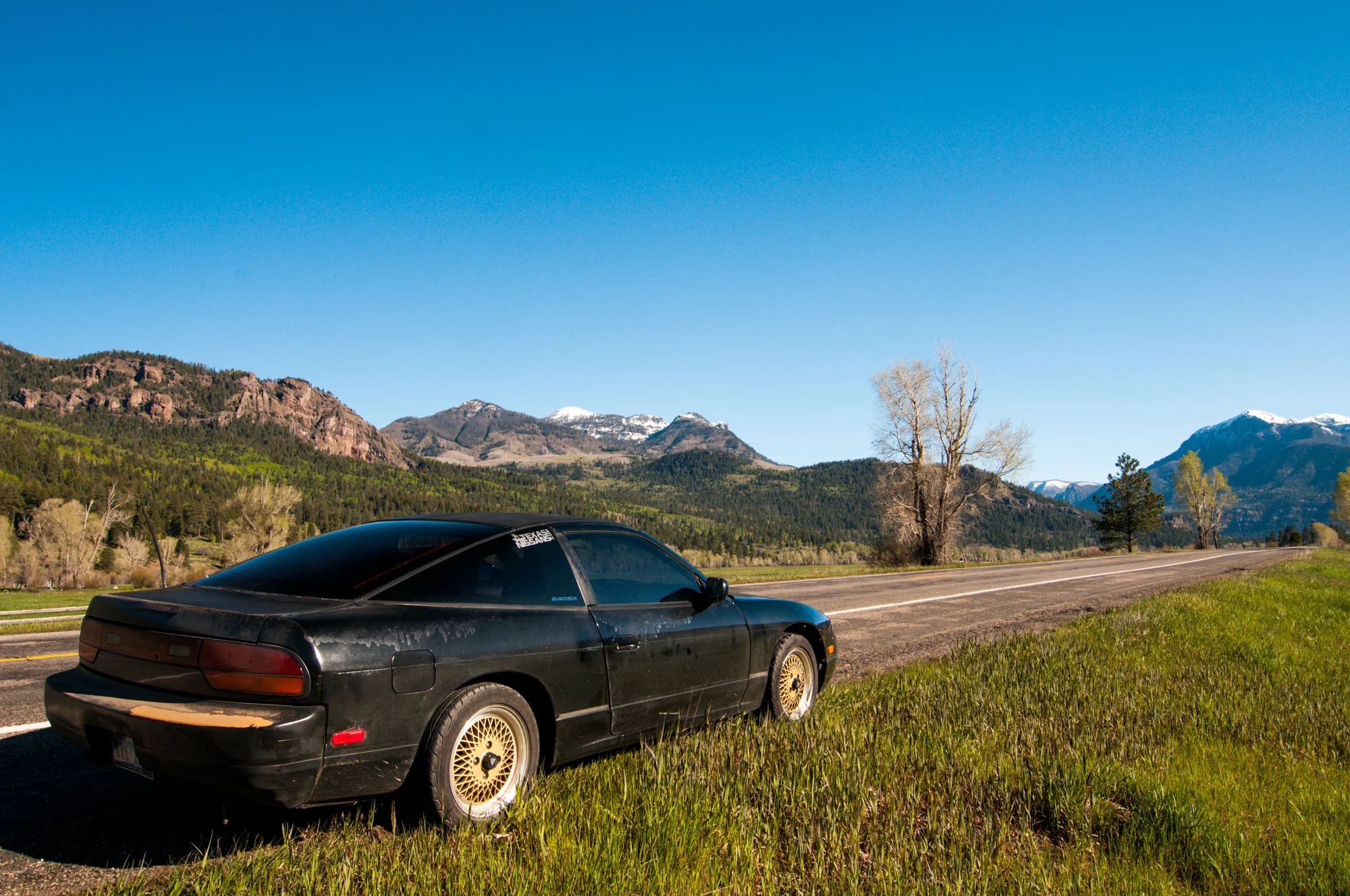
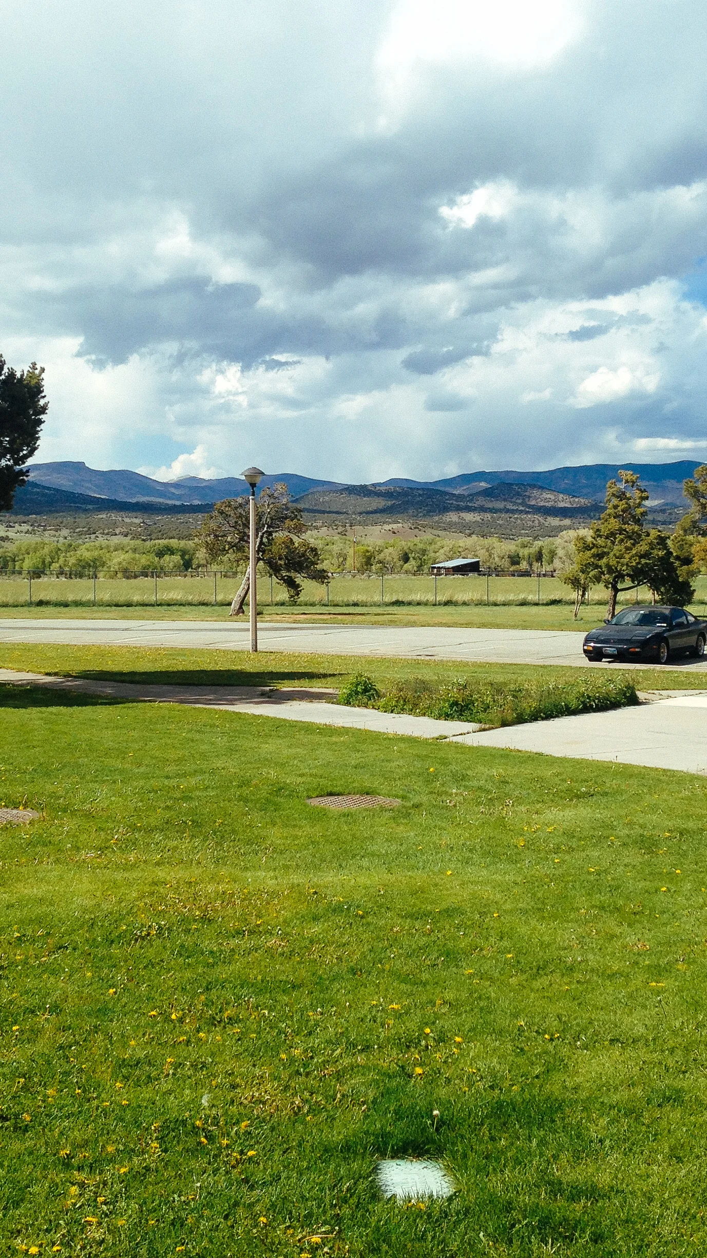
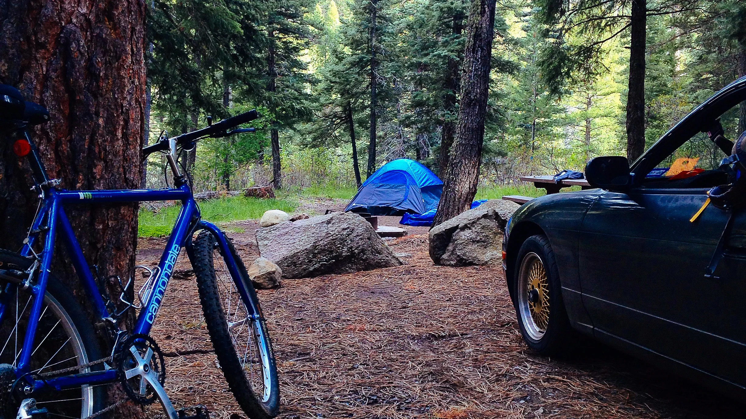
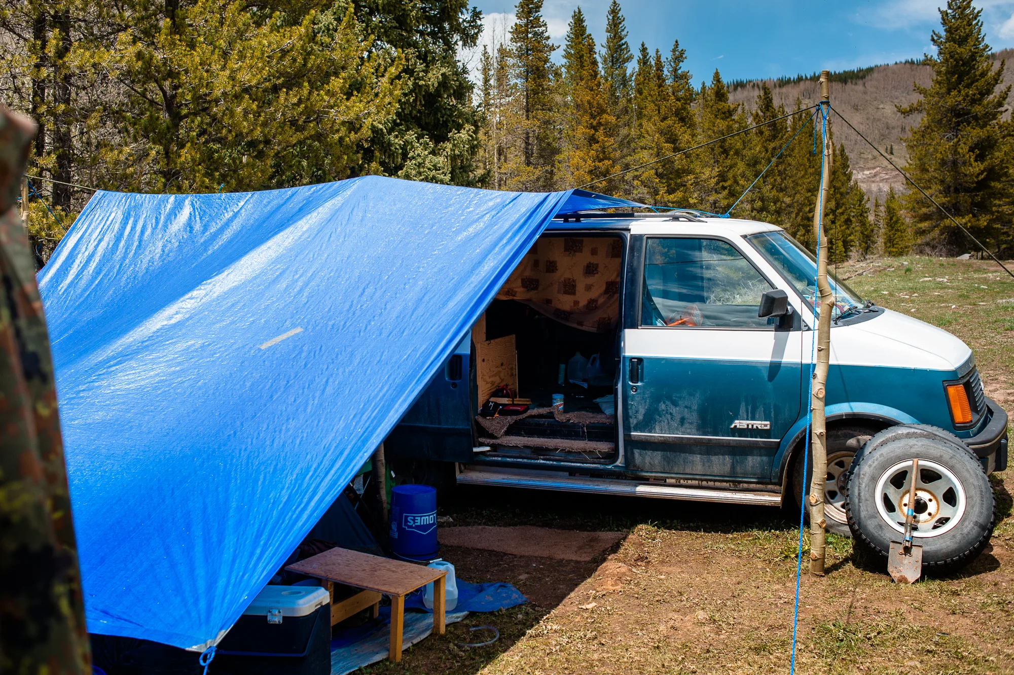
Matt and Brandon
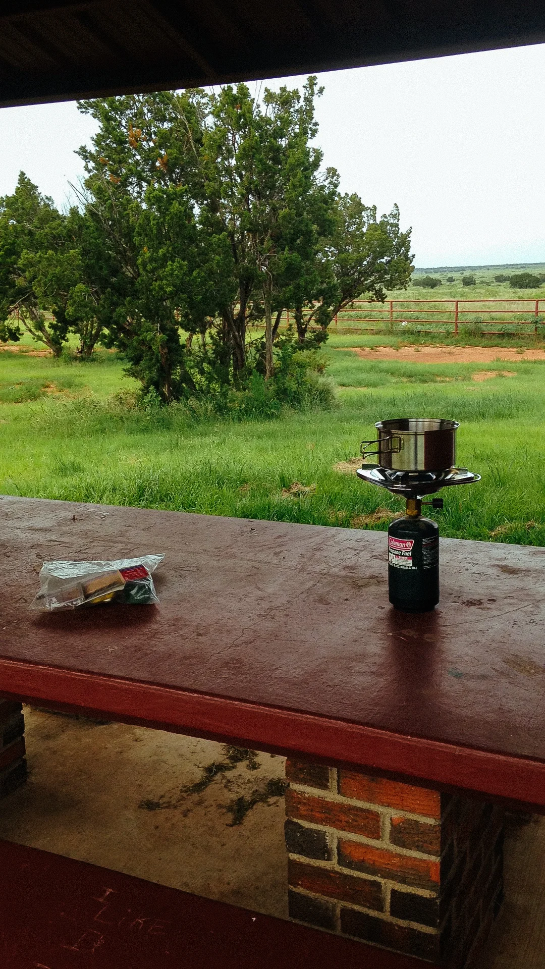
For lunch I had yet another can of delicious soup while I joined Matt and Brandon at there site where we talked a bit more. They really did have a sweet setup for long term camping. Whole setup felt like a small home.

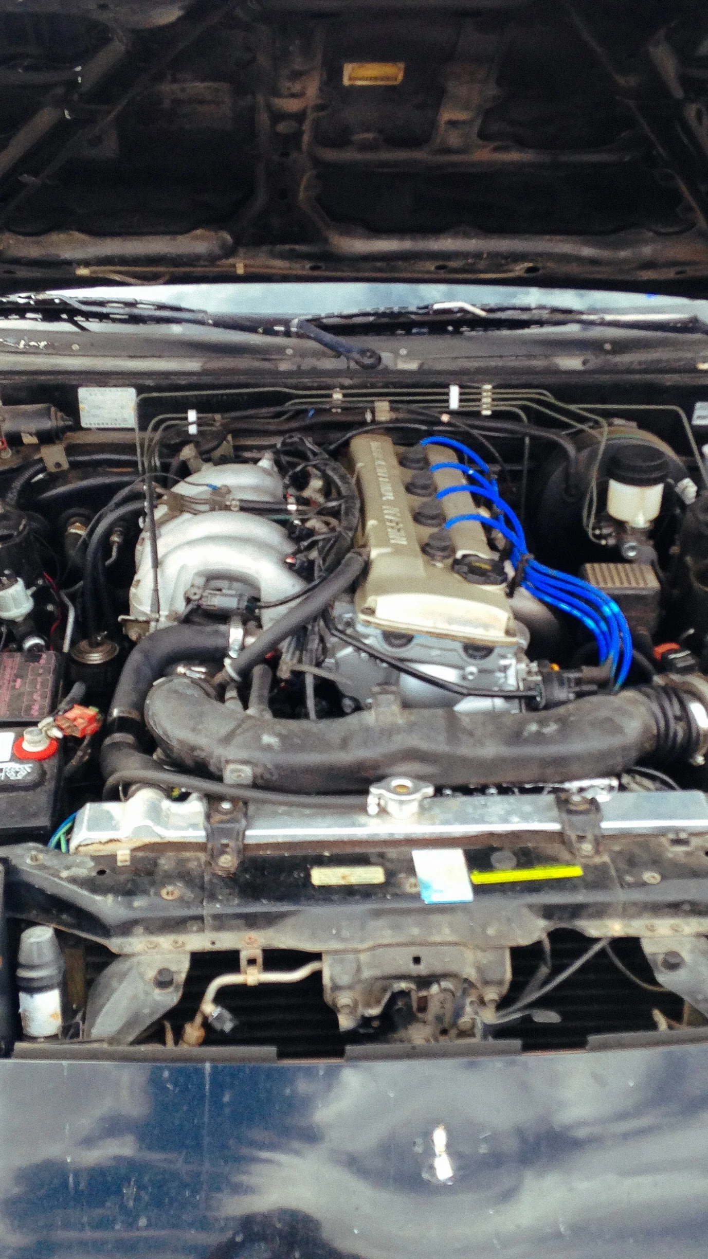
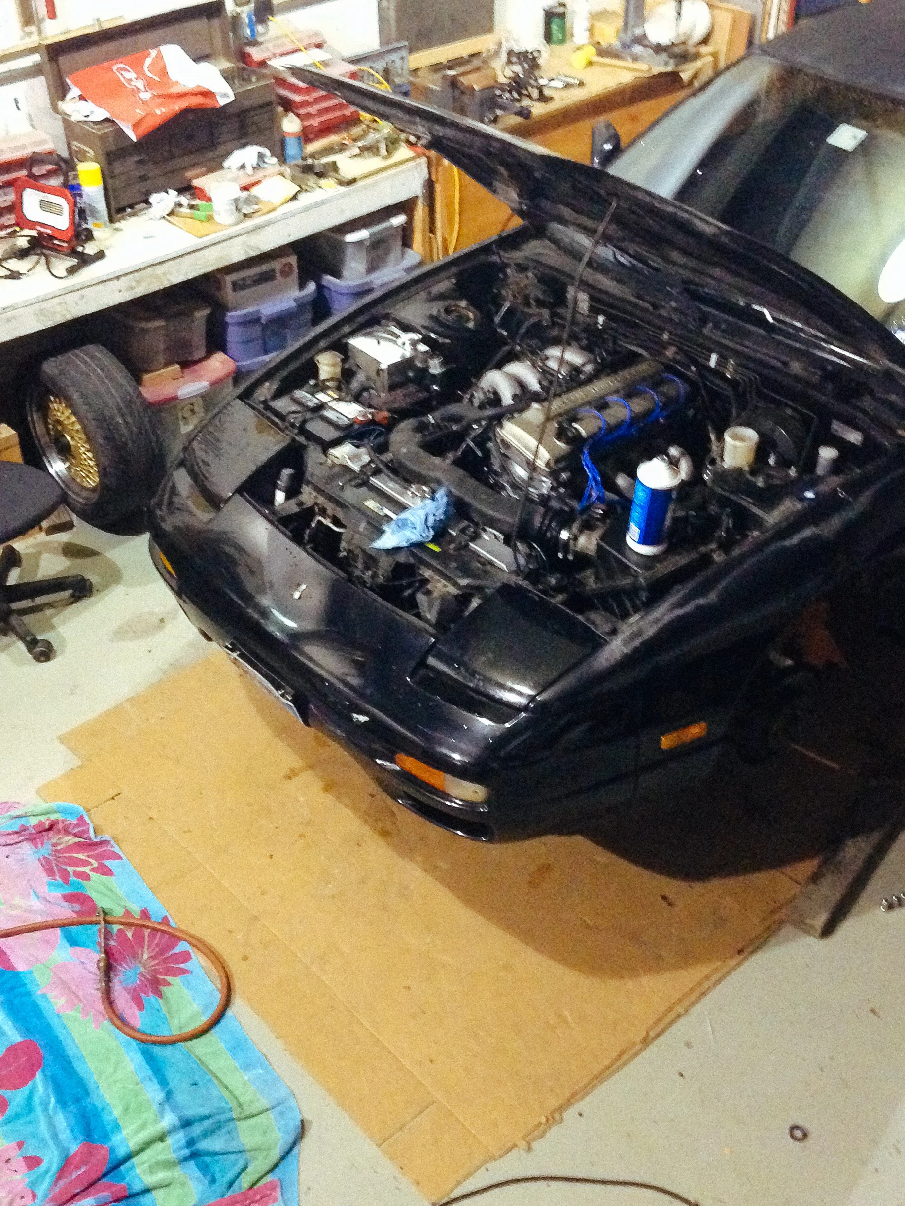
It was already well past two by now, and I needed to get on the road. I planned on meeting up with a friend near Pikes Peak, which was on the other side of the state, tomorrow morning. After saying my goodbyes I hit the road. I was still having belt squealing issues, however they weren’t as bad as I had now tightened up the belts. Only lasted for a second or two on startup. Still concerning although I did have rescue tape, a self fusing silicone tape, that could be used in a pinch. It can be real lifesaver when needing to make quick repairs to an item that would otherwise leave you stranded.
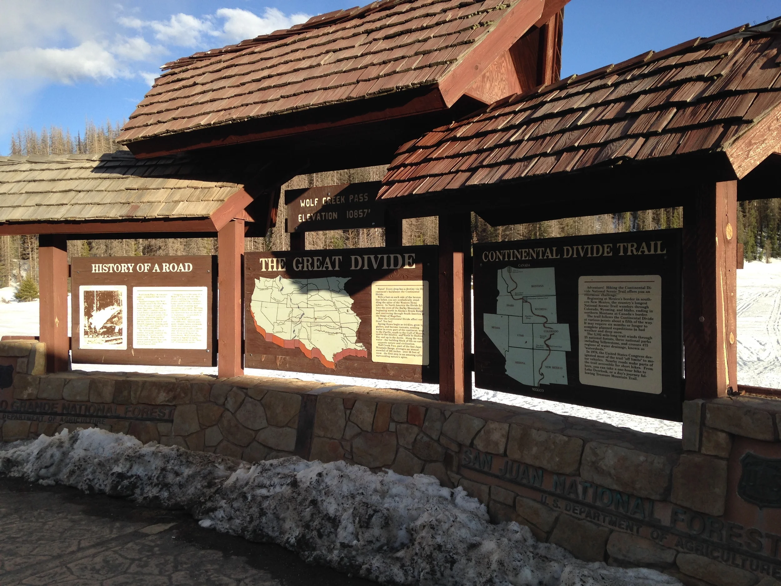
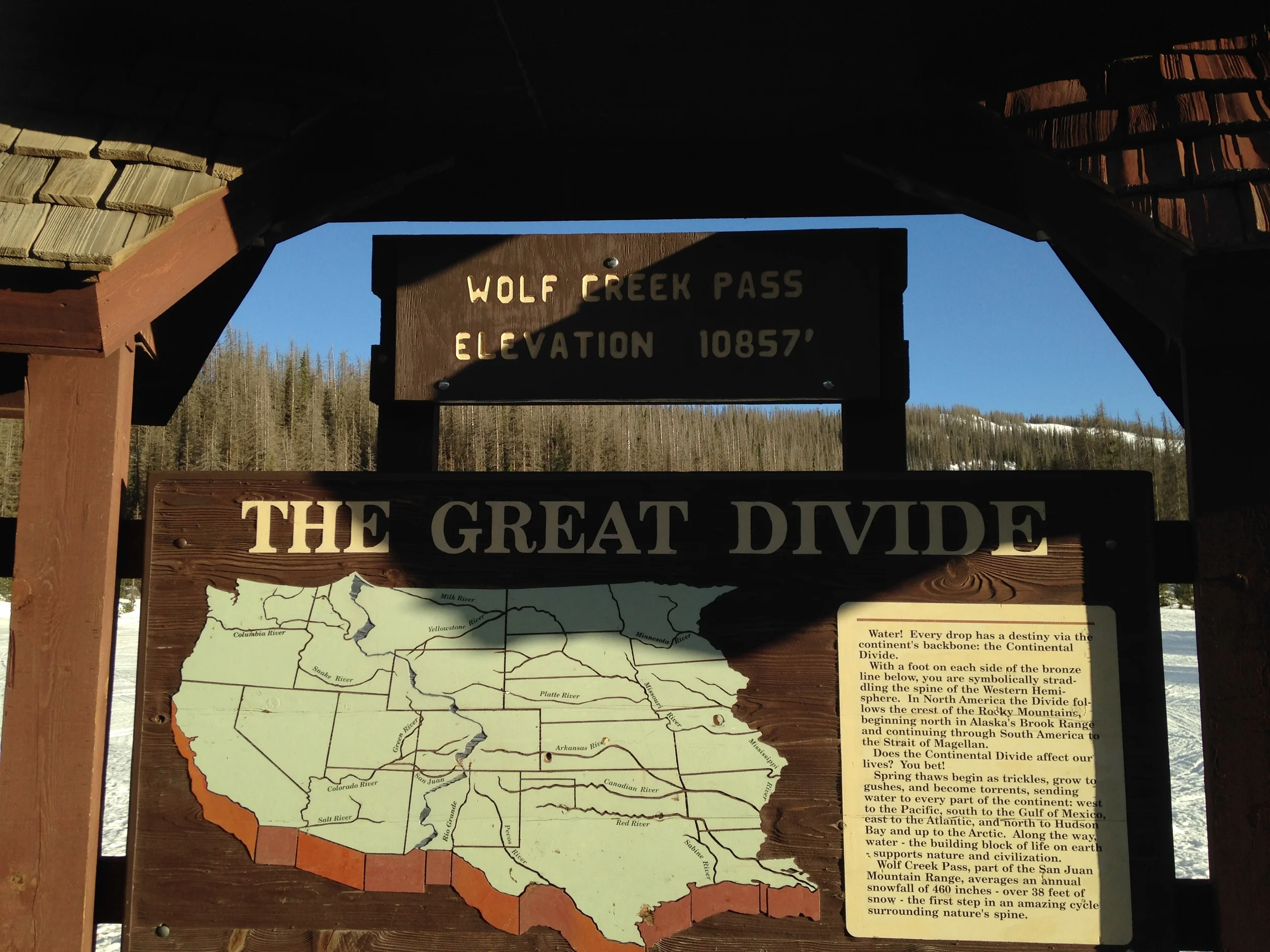
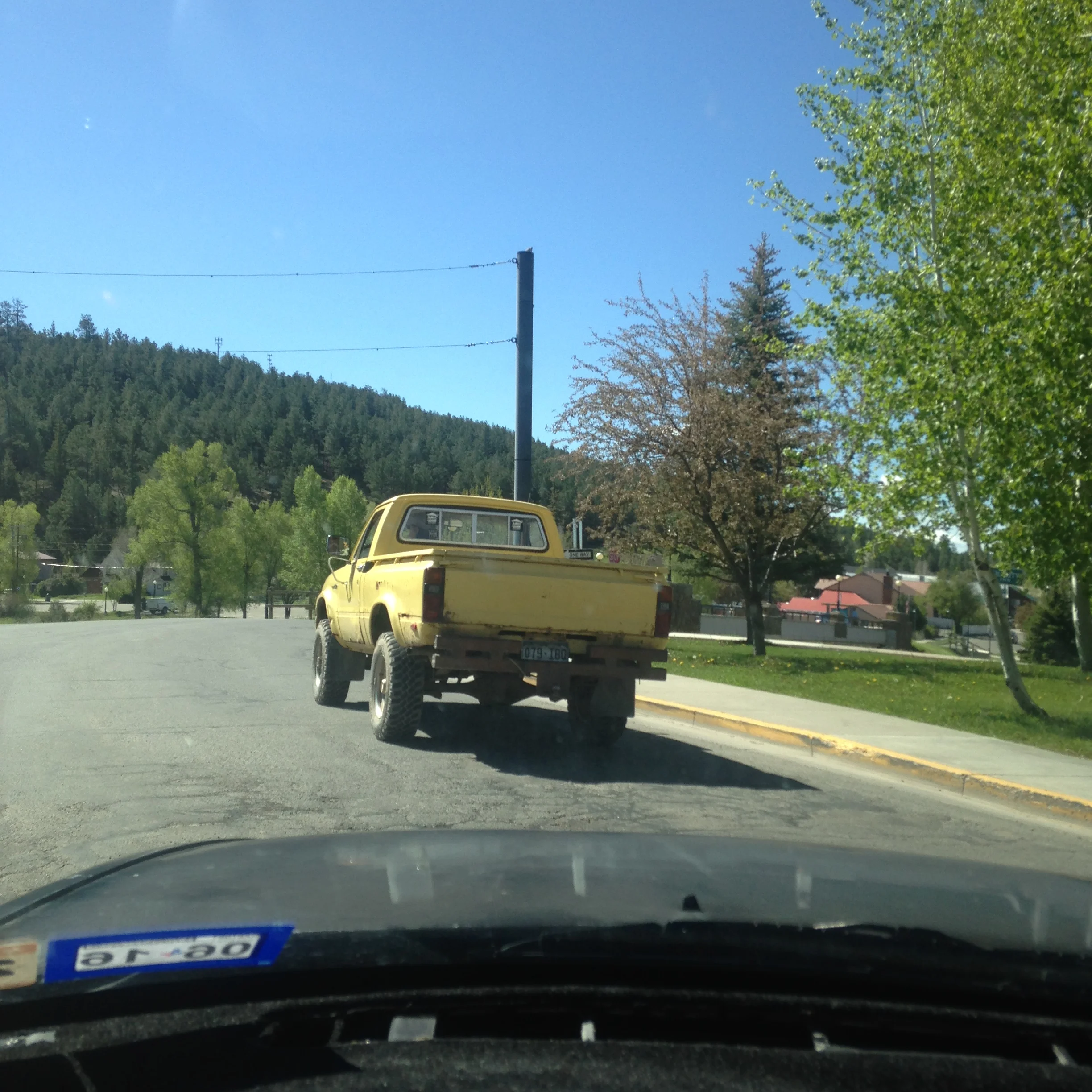
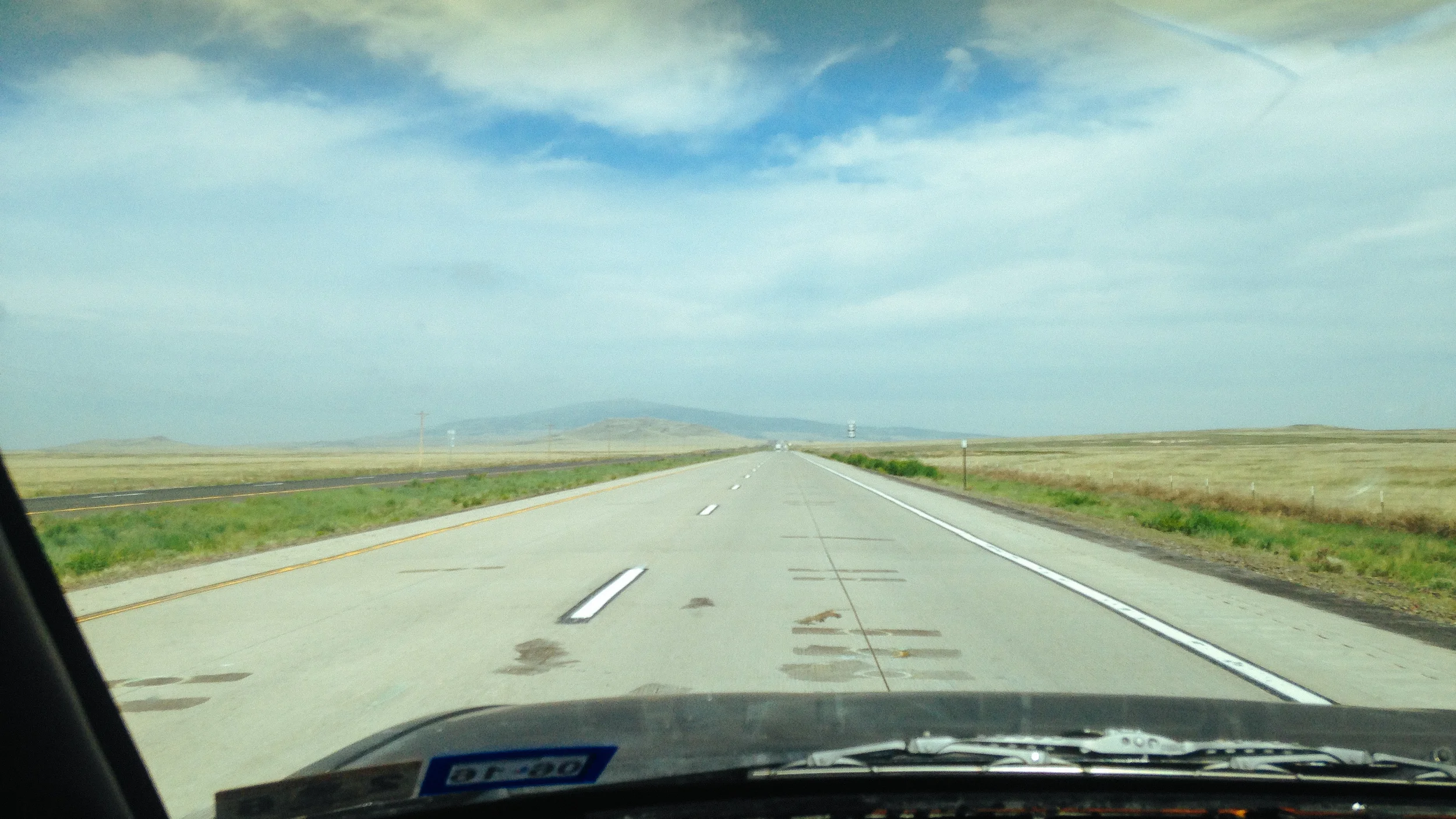
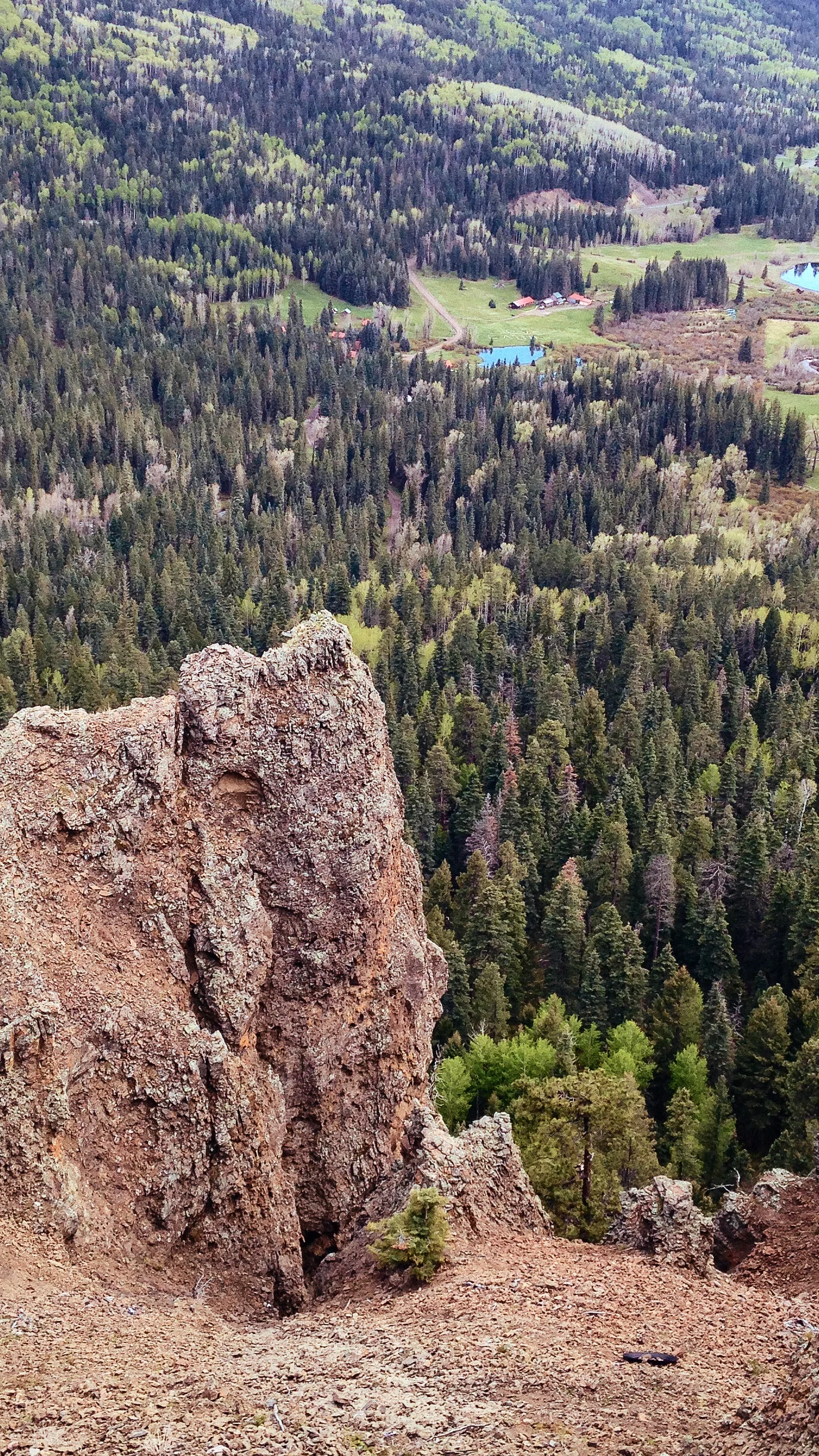
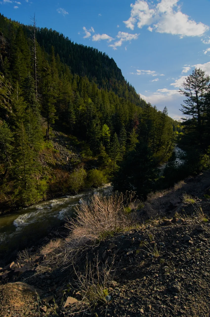
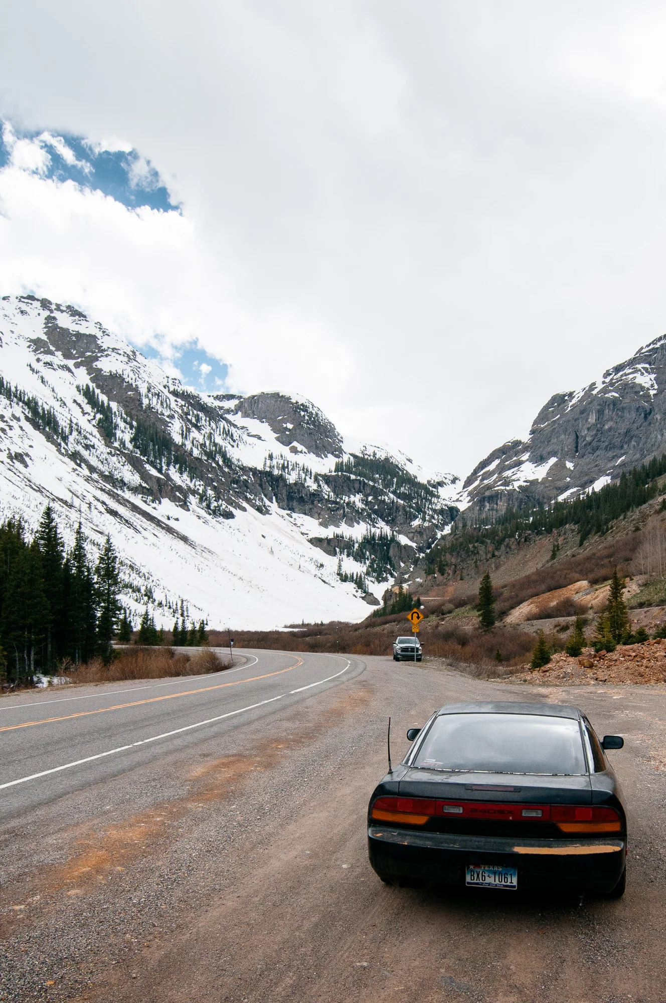
Although I was honestly wanting to leave too, there was still a 36 mile stretch of mountain pass that I was itching to drive and I still had a lot of state too see! Highway 550 was total blast to drive along with highway 50, and I’m sure some of the locals were wondering why a Texan was hauling butt through the mountains. I found the majority of Texas drivers I came across on mountain passes drove exceptionally slow.
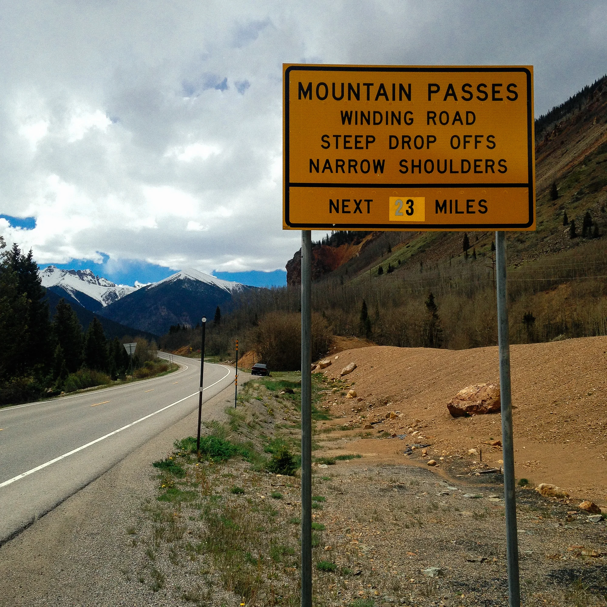
In other words: 23 miles of fun ahead.
I hardly covered any ground today, just under 190 miles, or about 3.5 hours of driving at this point.
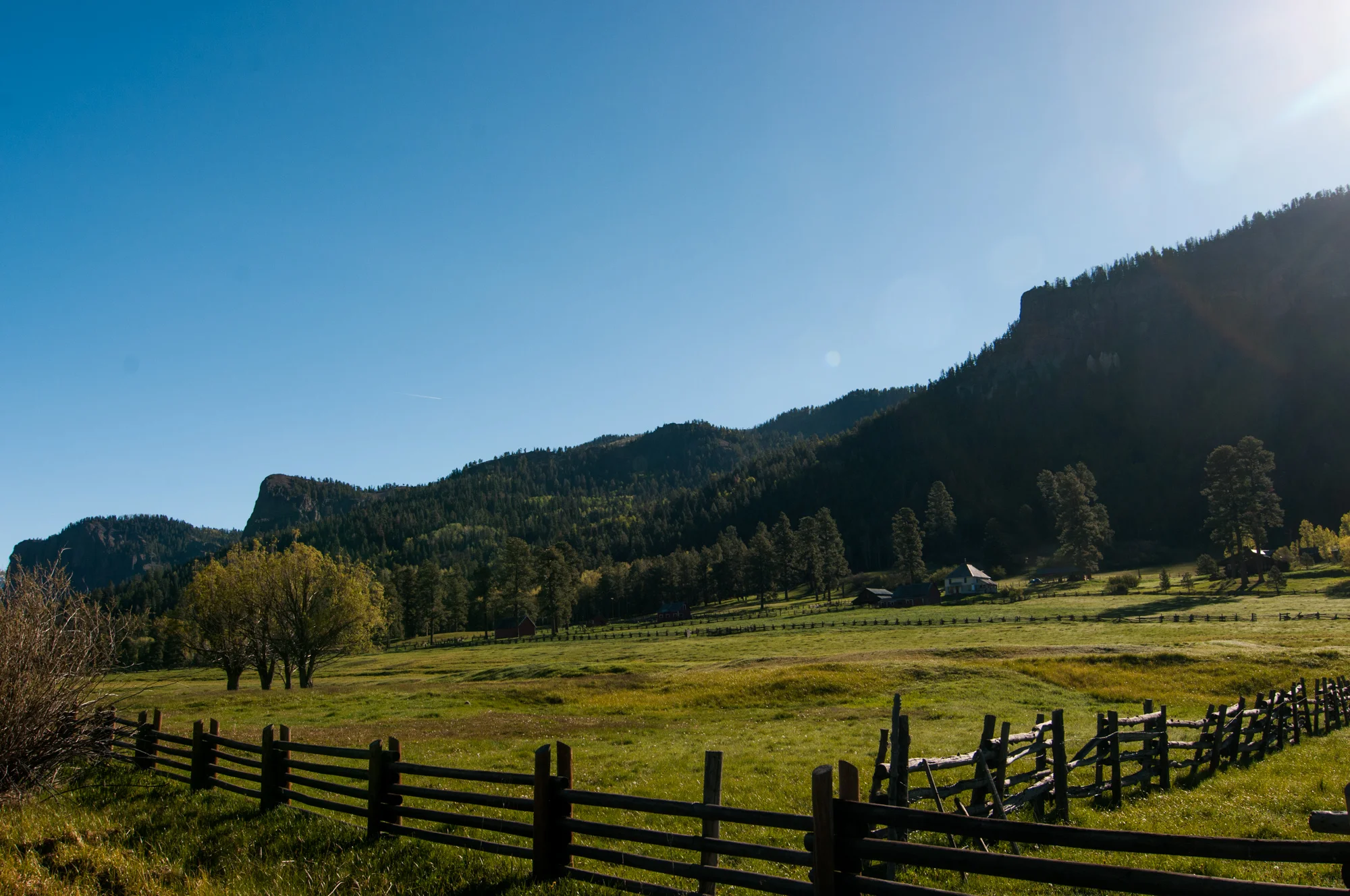
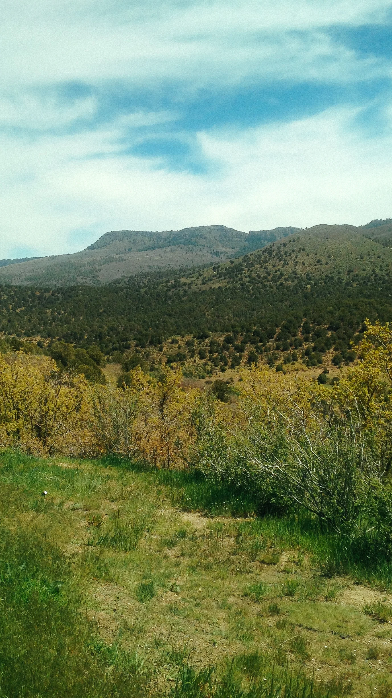
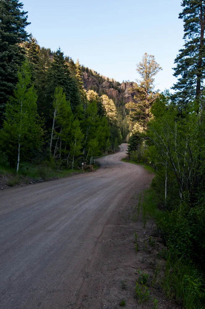
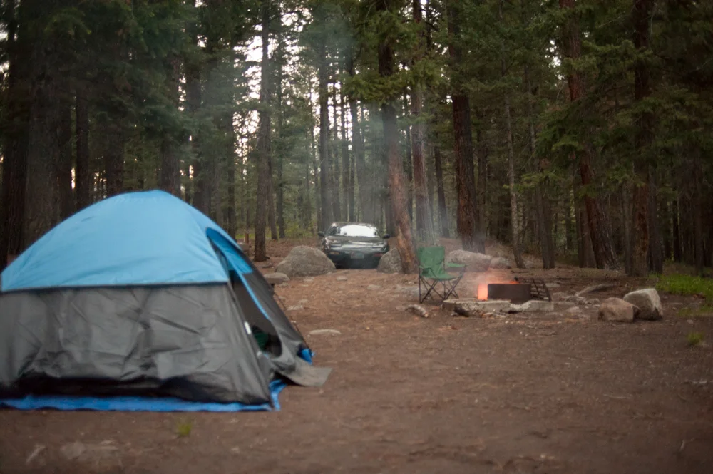
I was having difficulties finding a campsite in the area I was in. I was east of Monarch pass along highway 50 at this point, while I was still in a national forest there were few and far between roads off of the highway. The San Juan range was quite the opposite with plentiful amounts of forest roads. There were few valleys and most of the roads just seemed to go up into the mountains but provided no good areas to camp in. Between nearly getting my car stuck on a path, and having to drive down a slope in reverse, I only found two options. One right near a trail head, uncertain I could even camp there, and the other spot while decent was surrounded by dead trees waiting to topple. I did not care for either.
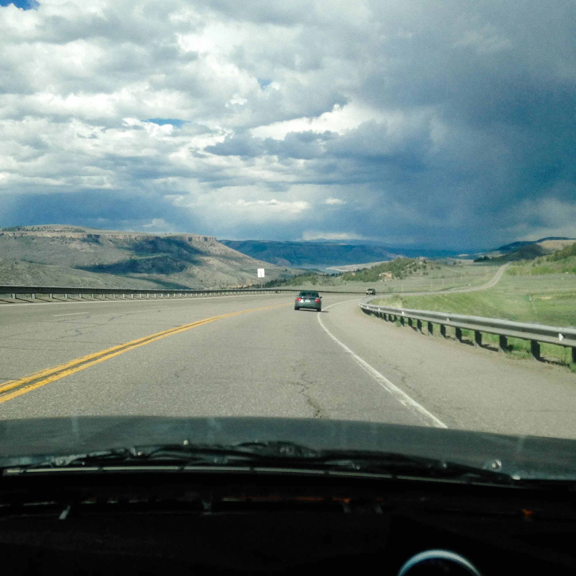
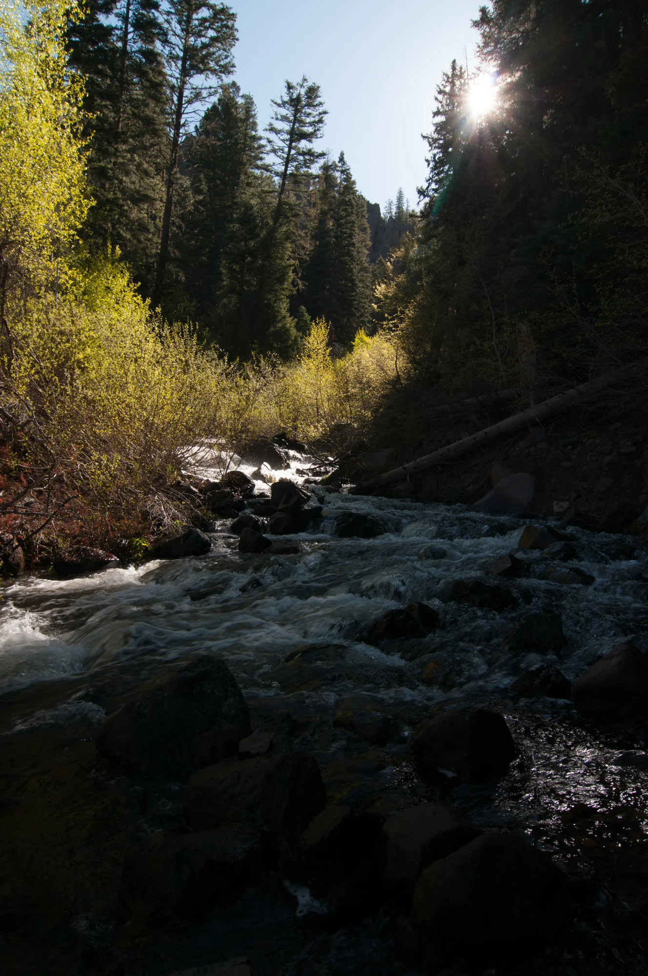
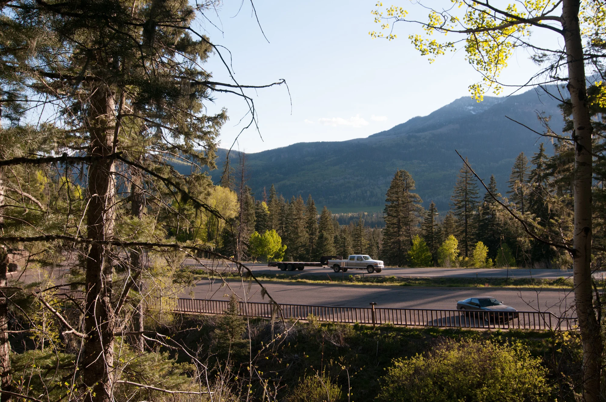
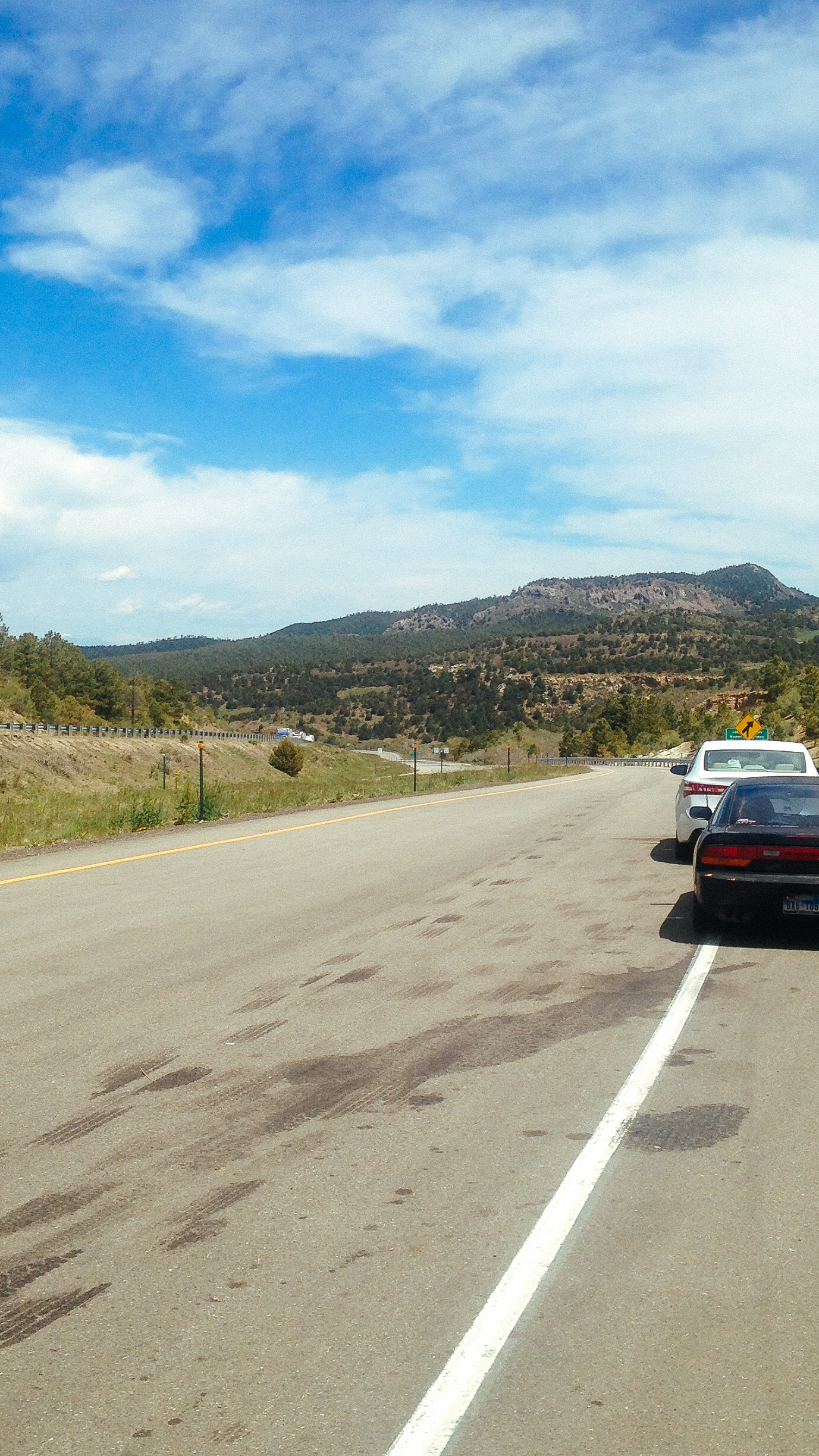
Highway 50 Colorado. The 'Office' view of my journey.
With the sunlight disappearing over the mountains I gave up on finding a spot in the forest. I had passed a RV campground sign a few miles back and opted to head there as a last resort. While I could press on and sleep in my car, I’d rather not.
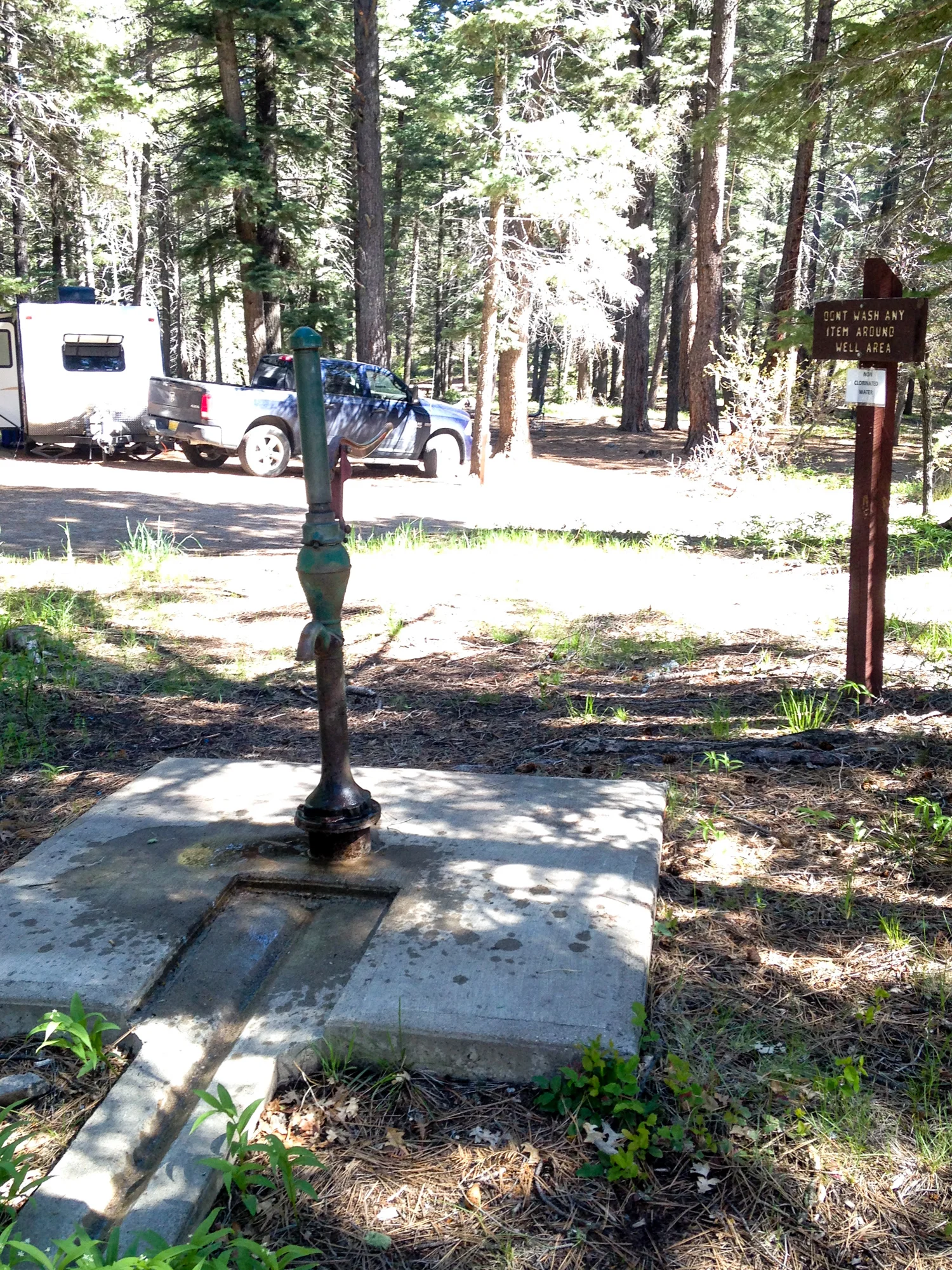
The site itself left things to be desired, this was obviously a more RV type place than camping. A river ran right by on the other side of an embankment which separated out some of the camp sites. The ground was quite soft and muddy. I was bit concerned about parking in the grass, as I had summer tires that would be useless in mud and the differential does not lock. Good recipe for getting stuck! Thankfully there were no other cars so I left my car on one lane gravel path

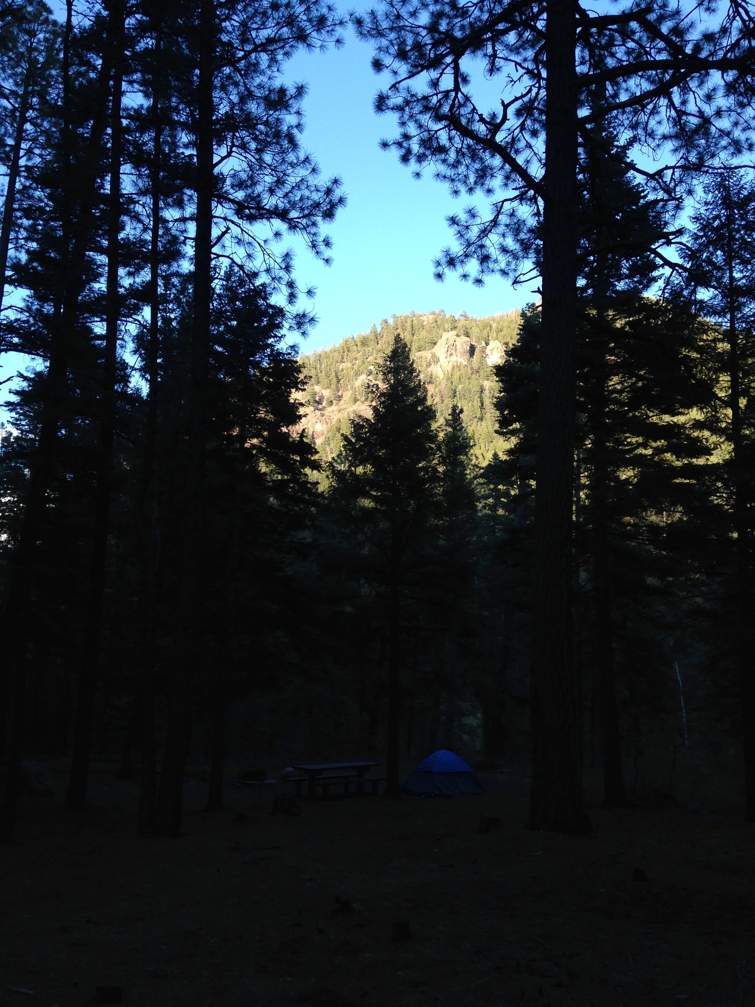
The ground around the sites wasn’t flat either, the ground was covered in mounds from the clumps of grass growing and took me a bit of walking my site to find a suitable area for my tent. Well at least the tent stakes went in without a hitch.

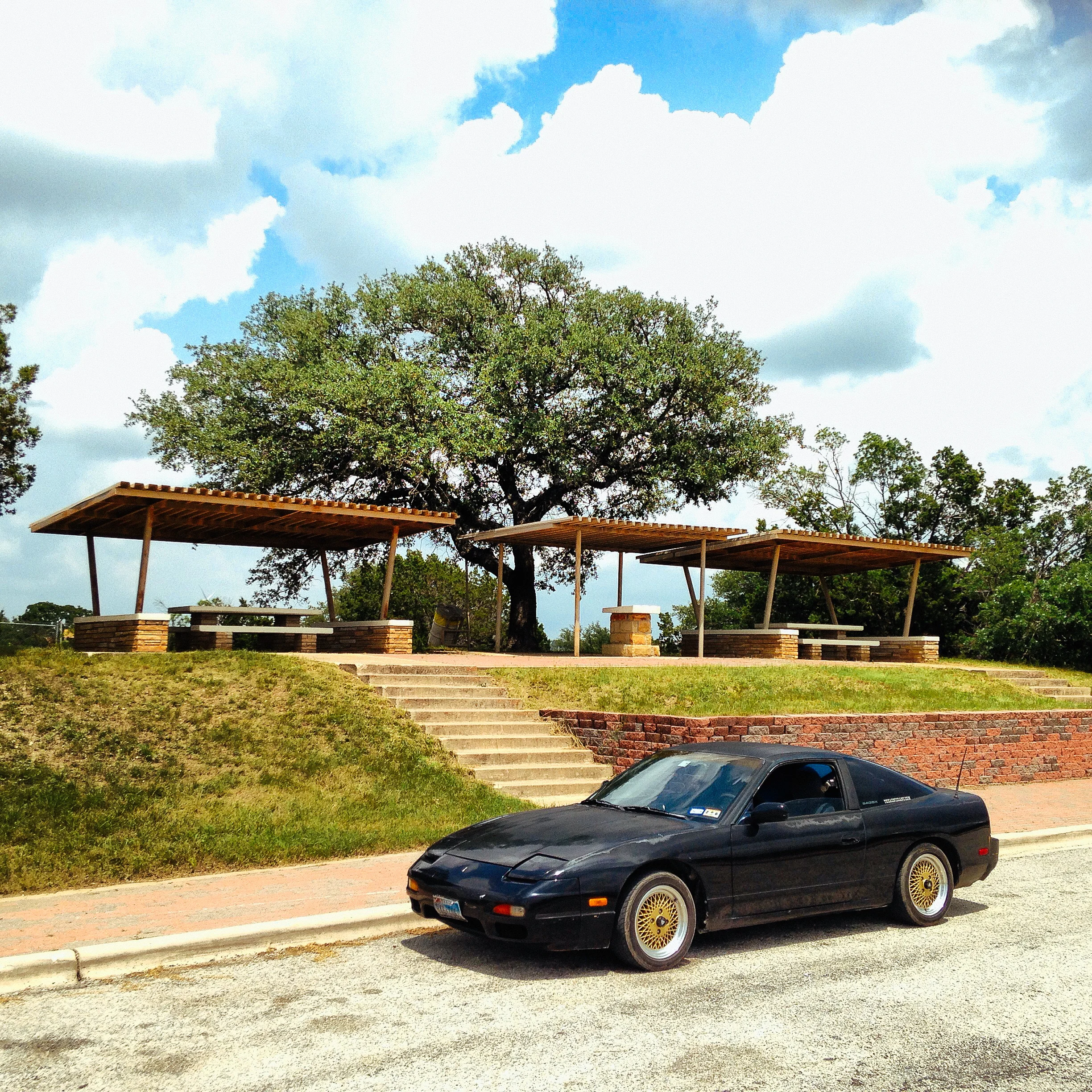
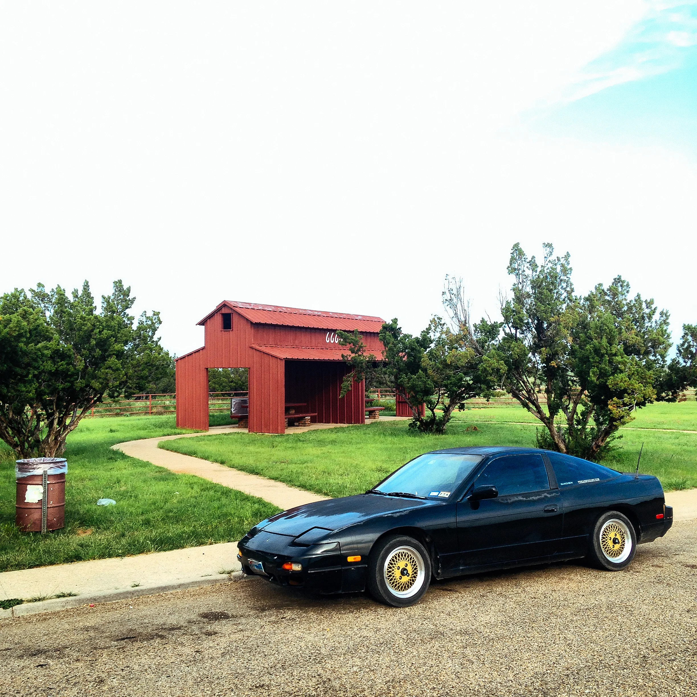
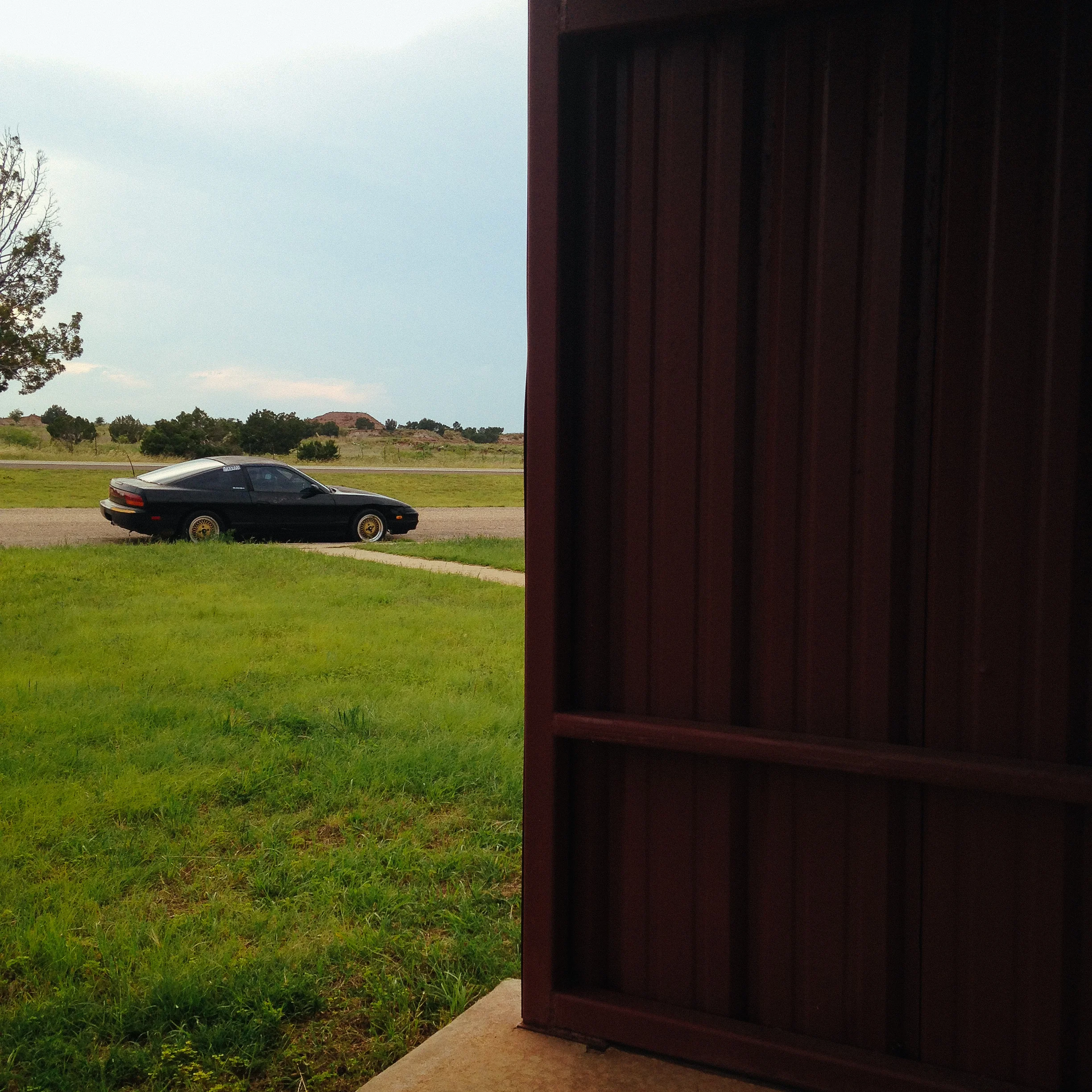
Cars n Camping